
Country United States GNIS feature ID 453301 Local time Thursday 7:38 AM | FIPS code 18-25360 Elevation 164 m Population 1,499 (2010) | |
 | ||
Weather -8°C, Wind W at 3 km/h, 73% Humidity Area 60.94 km² (60.61 km² Land / 34 ha Water) | ||
Franklin Township is one of five townships in Floyd County, Indiana. As of the 2010 census, its population was 1,499 and it contained 621 housing units.
Contents
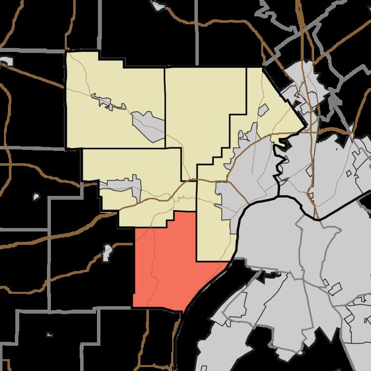
- Map of Franklin Township IN USA
- History
- Geography
- Unincorporated towns
- Adjacent townships
- Major highways
- Cemeteries
- References
Map of Franklin Township, IN, USA
History
The Gabriel Farnsley House was listed on the National Register of Historic Places in 1982.
Geography
According to the 2010 census, the township has a total area of 23.53 square miles (60.9 km2), of which 23.4 square miles (61 km2) (or 99.45%) is land and 0.13 square miles (0.34 km2) (or 0.55%) is water. Arrowhead Lake is in this township.
Unincorporated towns
(This list is based on USGS data and may include former settlements.)
Adjacent townships
Major highways
Cemeteries
The township contains four cemeteries: Bailey, Hopewell, Wheeler and Wolfe.
References
Franklin Township, Floyd County, Indiana Wikipedia(Text) CC BY-SA