
Country United States FIPS code 18-38367 Local time Friday 2:30 PM | Elevation 492 ft (150 m) GNIS feature ID 453505 Population 59,062 (2010) | |
 | ||
Weather 9°C, Wind NW at 16 km/h, 26% Humidity Points of interest Howard Steamboat Museum, Schimpff's Confectionery, Atlantis Water Park, Vissing Park, Ashland Park | ||
Jeffersonville Township is one of twelve townships in Clark County, Indiana. As of the 2010 census, its population was 59,062 and it contained 27,023 housing units.
Contents
- Map of Jeffersonville Township IN USA
- History
- Geography
- Cities and towns
- Unincorporated towns
- Adjacent townships
- Major highways
- Cemeteries
- References
Map of Jeffersonville Township, IN, USA
History
Jeffersonville Township was organized in 1817.
Geography
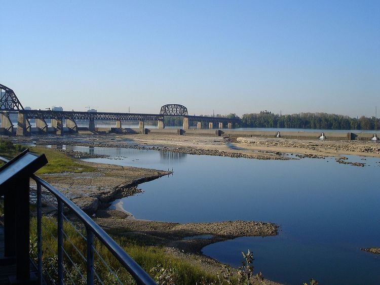
According to the 2010 census, the township has a total area of 26.88 square miles (69.6 km2), of which 26.57 square miles (68.8 km2) (or 98.85%) is land and 0.31 square miles (0.80 km2) (or 1.15%) is water. Brick House Pond and Silver Lakes are in this township.
Cities and towns
Unincorporated towns
(This list is based on USGS data and may include former settlements.)
Adjacent townships
Major highways
Cemeteries
The township contains several cemeteries: Applegate, Civil War, Eastern (aka Chestnut Grove Cemetery), Espy,Gilmore, Grayson, Hale McBride Family, Lacassagne/Moore, McBride, McClintick, Old City, Mulberry Street and Chestnut/Market Street, St. Anthony's, Stewart, and Walnut Ridge.