
Country United States Time zone Eastern (EST) (UTC-5) Elevation 181 m Area code 812 | State Indiana ZIP code 47805 Local time Tuesday 6:19 PM | |
 | ||
Weather 11°C, Wind W at 26 km/h, 41% Humidity | ||
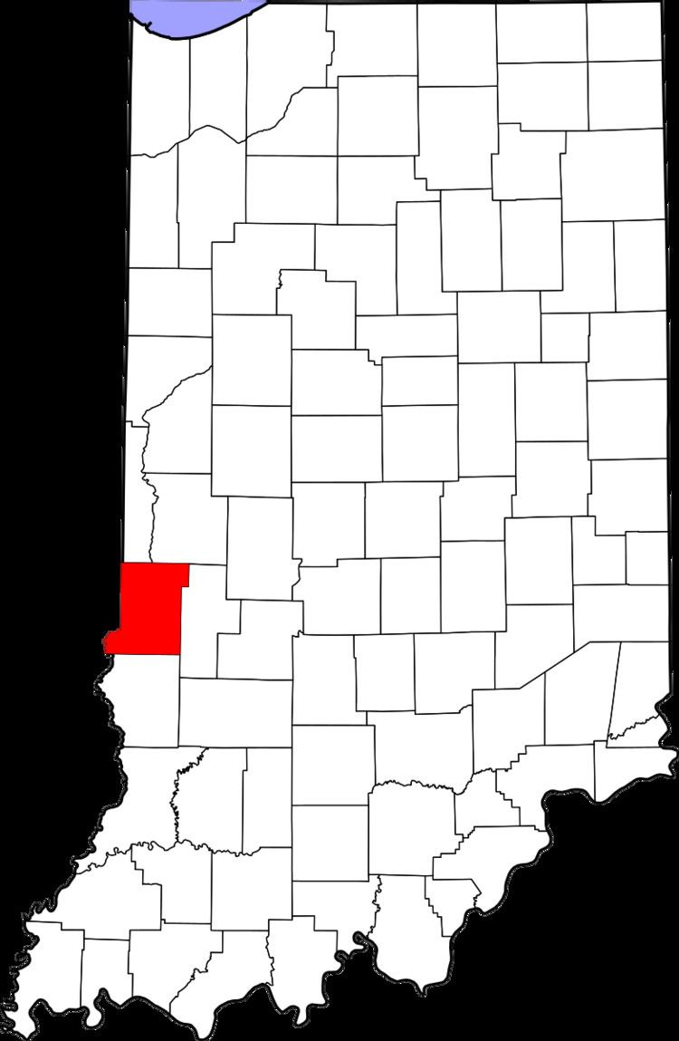
Ehrmandale is an unincorporated community in southern Nevins Township, Vigo County, in the U.S. state of Indiana.
Contents
Map of Ehrmandale, IN 47834, USA
It is part of the Terre Haute metropolitan area.
History
Ehrmandale was known as Elsie until 1898. A post office was established under this name in 1896, was renamed Ehrmandale in 1898, and was discontinued in 1905.
Geography
Ehrmandale is located at 39°32′06″N 87°14′20″W at an elevation of 594 feet.
References
Ehrmandale, Indiana Wikipedia(Text) CC BY-SA