
Country United States Time zone Eastern (EST) (UTC-5) Elevation 169 m Local time Tuesday 5:06 PM | State Indiana GNIS feature ID 449640 Zip code 47874 Area code 765 | |
 | ||
Weather 12°C, Wind W at 23 km/h, 45% Humidity | ||
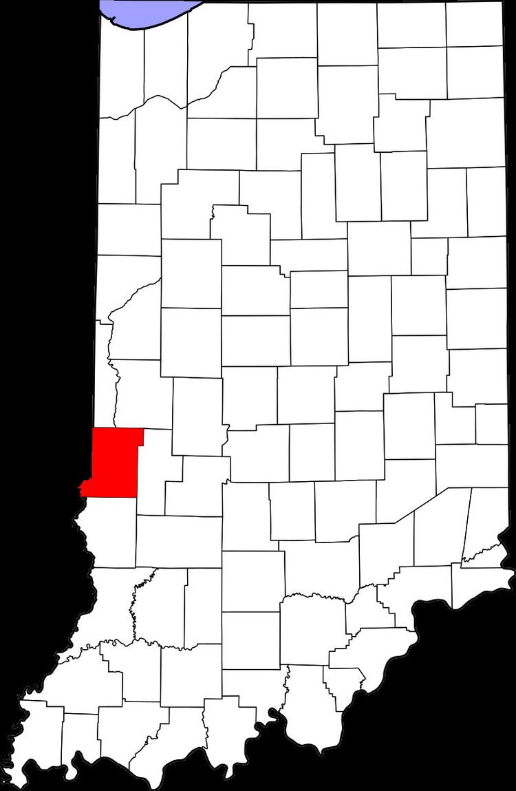
Coal Bluff is an unincorporated community in northern Nevins Township, Vigo County, in the U.S. state of Indiana.
Contents
Map of Coal Bluff, IN 47874, USA
It is part of the Terre Haute metropolitan area.
History
Coal Bluff grew to be a hamlet in consequence of Webster's coal mine, one of the first in the county being opened. Webster sold the mine to the Coal Bluff Mining Company, and hence the name of the place. In 1890 it was exclusively a mining town with a post office and a railroad station on the Indianapolis and St. Louis Railroad. At that time it had a population of approximately 176. Since the Coal Mines closed, Coal Bluff has now become a residential community. The post comes from Rosedale, Indiana, and the telephone numbers are from Clay County. There are farms in the area and a few prominent families.
A post office was established at Coal Bluff in 1876, and remained in operation until it was discontinued in 1969.
Geography
Coal Bluff is located at 39°34′58″N 87°13′12″W at an elevation of 554 feet.