
 | ||
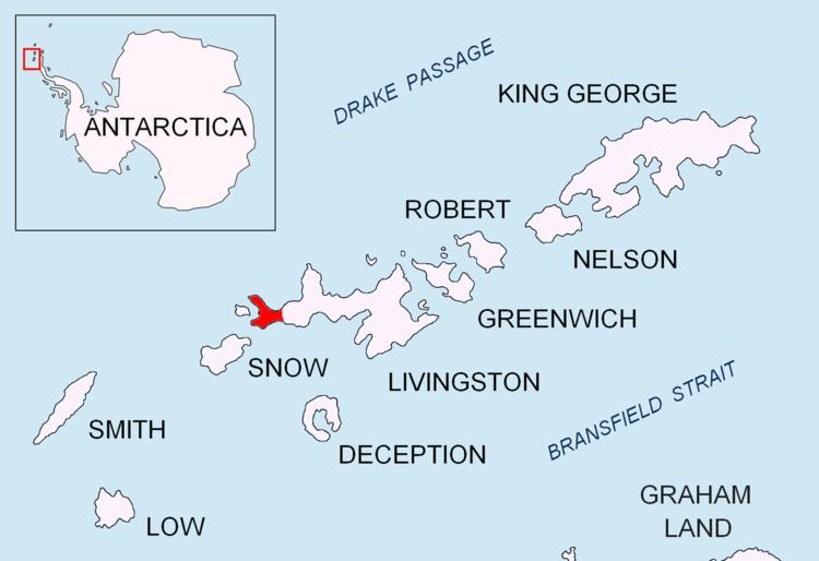
Negro Hill is a conspicuous rocky hill, double-peaked with a small tarn in between, rising to 143 m at South Beaches on Byers Peninsula, Livingston Island in the South Shetland Islands, Antarctica. The area was visited by 19th-century sealers.
Contents
The feature was descriptively named (‘Morro Negro’ meaning "Black Moor" in Spanish) by an Argentine Antarctic Expedition in about 1958.
Location
The hill is located at 62°39′16.2″S 61°00′06″W which is 1.1 km northeast of Dometa Point, 4.99 km east-northeast of Nikopol Point, 4.71 km east-southeast of Chester Cone, 1.95 km south of Tsamblak Hill and 4.04 km west-northwest of Rish Point (British mapping in 1968, detailed Spanish mapping in 1992, and Bulgarian mapping in 2005 and 2009).
Maps
References
Negro Hill Wikipedia(Text) CC BY-SA