
Time zone IST (UTC+5:30) Elevation 540 m Area code 02112 | PIN 412306 Population 5,744 (2011) | |
 | ||
agropromo osmanabad based murum village s water management story
Murum is a village and Gram Panchayat in Baramati Taluka in Pune District of Maharashtra State, India. It belongs to Desh or Paschim Maharashtra region. It is located 78 km south of District headquarters Pune. 34 km from Baramati.
Contents
- agropromo osmanabad based murum village s water management story
- Map of Murum Maharashtra
- Demographics
- Near By Industry
- Transport
- Schools and Colleges in near Murum
- Economy
- References
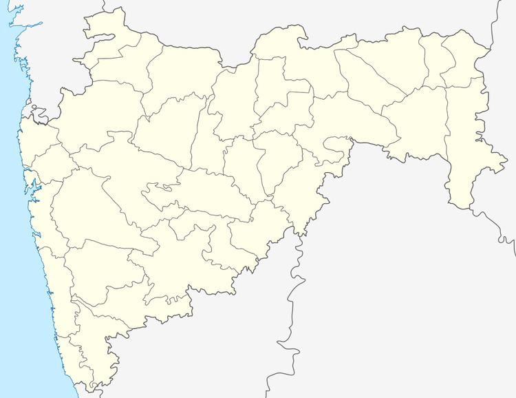
Map of Murum, Maharashtra
Murum Pin code is 412306 and postal head office is Someshwarnagar .
Hol ( 7 km ), Khandobachiwadi ( 8 km ), Korhale Kh. ( 8 km ), Gadadarwadi ( 9 km ), Chopadaj ( 9 km ) are the nearby Villages to Murum. Murum is surrounded by Baramati Taluka towards East, Khandala Taluka towards west, Purandar Taluka towards west, Koregaon Taluka towards South .
Phaltan , Baramati, Sasvad , Wai are the nearby cities to Murum.
Demographics
Total Population
Census data 2011
Near By Industry
As main crop of Murum is sugarcane. Near by Murum has two Sugar Factories: Shri Someshwar Sahakari Sakhar Karkhana Ltd.(SSSSKL) and New Phaltan Sugar Works Ltd.Sakharwadi
Transport
Most of the people prefer to use State Transport (Maharashtra Government) buses. Private vehicles, auto rickshaws can be used on rent basis. Traffic is quite chaotic, with no signals. Most of the people use two-wheelers or bicycles as a mode of transportation. There is no railway in Murum. The closest railway station is Nira, 11 kilometres (7 mi) away.
Schools and Colleges in near Murum
Economy
Murum and surrounding areas mostly depend on agriculture as the main source of income. The land in the region is very well irrigated because of Nira Left Canal irrigation from Veer Dam. Nira rivers also provide direct irrigation water to farms.