
 | ||
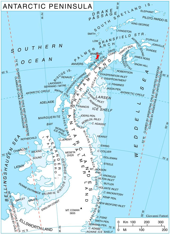
Mount Hunter (64°5′S 62°24′W) is a mountain in northern Stribog Mountains, 1,410 metres (4,630 ft) high, standing 4 nautical miles (7 km) west-southwest of Duclaux Point on Pasteur Peninsula, Brabant Island, in the Palmer Archipelago, Antarctica. It surmounts Podayva Glacier to the north, Burevestnik Glacier to the northeast, Lister Glacier to the southeast and Dodelen Glacier to the west.
Contents
Map of Mount Hunter, Antarctica
The mountain was shown on an Argentine government chart in 1953, but not named. It was photographed by Hunting Aerosurveys Ltd in 1956–57, and mapped from these photos in 1959. The feature was named by the UK Antarctic Place-Names Committee for John Hunter, a British surgeon, comparative anatomist and physiologist, who revolutionized the approach to surgery as an exact science in relation to other aspects of medicine.