
Topo map caltopo map | Elevation 1,865 m | |
 | ||
Range Boise Mountains,Central Idaho Mountains Similar Pilot Peak, Boise National Forest, Mores Mountain, Lucky Peak State Park, Arrowrock Dam | ||
Backcountry skiing mores creek summit
Mores Creek Summit is a mountain pass in southwest Idaho, United States, at an elevation of 6118 feet (1865 m) above sea level on State Highway 21, the Ponderosa Pine Scenic Byway. It is located in Boise County in the Boise National Forest.
Contents
- Backcountry skiing mores creek summit
- Map of Mores Creek Summit Idaho 83631 USA
- Mores creek summit skiing
- References
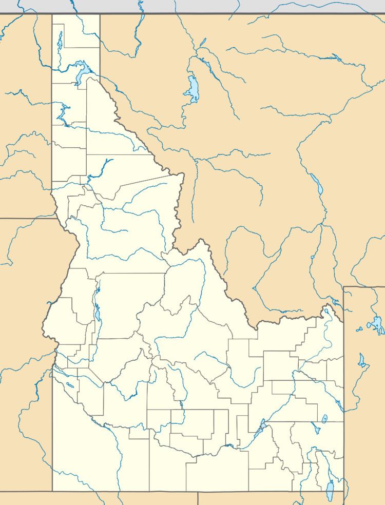
Map of Mores Creek Summit, Idaho 83631, USA
It marks the divide between the Boise River (north fork) and Payette River (south fork) drainage areas. The summit is between Idaho City and Lowman.
Mores Creek is a tributary of the Boise River.
Mores creek summit skiing
References
Mores Creek Summit Wikipedia(Text) CC BY-SA