PIN 301702 Elevation 263 m Area code 01460 | Time zone IST (UTC+5:30) Telephone code 01460 Population 600 (2016) | |
 | ||
Moonpur Thakran (Hindi : मूनपुर ठाकरान)is a village in Kotkasim tehsil Alwar district in the state of Rajasthan, India. Moonpur Thakran part of Ahirwal. about 40 percent of the total population are Yadav. Yadavs belong to the gotra(clan) of the Pachwaniya. Other caste Khati, Schedule castes.
Contents
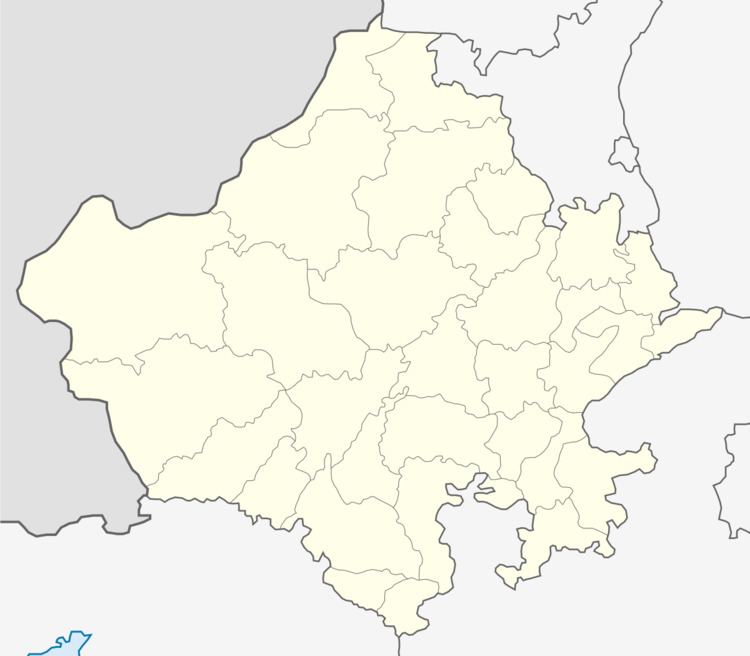
Map of Moonpur Thakran, Rajasthan
Language
Ahirwati, also called ‘Hirwati’ (the language of Ahirs also Language of Rajputana), is spoken in Ahirwal.
Rewari, Mahendergarh, Narnaul, Gurgaon, Kotkasim, Kotputli, Bansur, Behror and Mundawar may be considered as the centre of Ahirwati speaking area.
Location
Moonpur Thakran is located in the National Capital Region, 130 kilometres south of Delhi, 145 kilometres north of state capital Jaipur, 60 kilometres north of Alwar city, 30 kilometres east of Rewari city, 25 kilometres south of Dharuhera, 25 kilometres south of Bhiwadi and 22 kilometres west of Tijara, 20 kilometres north Kishangarh Bas, 5 kilometres south of Kotkasim, 4 kilometres north of Bibirani, another town in Alwar district.
Villages near Moonpur Thakran are Pur(1 km), Khanpur Dagran(1 km), Gheekaka(2 km), Sanoda Ahir(1 km), Jalaka(0.7 km).
