
PIN 301019 Population 104,883 (2011) ISO 3166 code ISO 3166-2:IN | Time zone IST (UTC+5:30) Vehicle registration RJ 40 Local time Monday 3:32 PM | |
 | ||
Weather 27°C, Wind NW at 14 km/h, 23% Humidity Neighborhoods Bhagat Singh Colony, Vasundhara Nagar | ||
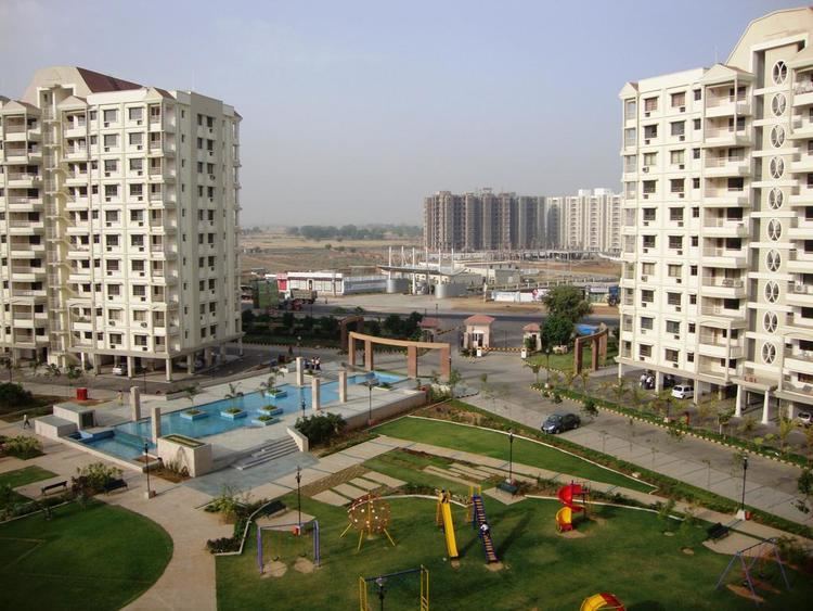
Super affordable homes greater noida bhiwadi and jaipur
Bhiwadi is a city in Alwar district of Rajasthan state in India. It is an industrial hub in Rajasthan. It is a part of NCR.
Contents
- Super affordable homes greater noida bhiwadi and jaipur
- Map of Bhiwadi Rajasthan
- Geography
- Demographics
- Economy
- DMIC in Rajasthan
- Development Plans under DMIC
- Notable companies
- References
Map of Bhiwadi, Rajasthan
Geography
Bhiwadi is situated at 28.21°N, 76.87°E. It is 65 km away from the New Delhi, 200 km from Jaipur, 90 km from Alwar,22 km from Gurgaon (Manesar) and 60 km from Faridabad (PROP Touch India Sec-49). It can be reached by National Highway NH8 (Delhi-Jaipur highway) via Dharuhera, in 20 min from Hero Honda Chowk (Gurgaon) and in 40-45 min from IGI Airport, New Delhi. It can also be reached by Gurgaon-Sohna-Tauru-Dharuhera road.
Nearest railway station is Rewari Junction, 26 km south of city
Nearest Airport is Indira Gandhi International Airport, 55 km north of the city
Demographics
As of 2011 India census, Bhiwadi had a population of 104,883 in 2011, males constituted 57% and females 43% of the population. The sex ratio of Bhiwadi city is 800 females per 1000 males.
Economy
The town is spread over nearly 5,300 acres, and houses around 2,700 big, medium and smallscale industries. Industries range from steel mills, furnaces to automobile and electronics manufacturing.
DMIC in Rajasthan
DMIC in Rajasthan With nearly 39% of DFC passing through Rajasthan, opportunities for industrial establishment along the route are eminent as the corridor will make Rajasthan easily accessible to western and northern markets. About 60% of the State's area (in 22 Districts including major districts such as Jaipur, Alwar, Kota and Bhilwara) falls within the project influence area. With this, the State will become an attractive destination for setting up industrial and support infrastructure units.
In Khushkhera-Bhiwadi-Neemrana region, an integrated industrial township is being developed and on similar concept a township along with other support infrastructure and projects is being planned in Jodhpur-Pali-Marwar area under DMIC in the first phase.
Development Plans under DMIC
Greenfield integrated township within the investment region of Khushkhera-Bhiwadi-Neemrana to be developed as a model future city spread over 165 km2. (approx.) housing a world class knowledge city with support infrastructure and residential, commercial and industrial zones. Master plan has been notified. Connectivity with road, air & rail networks. Sufficient availability of land, power, gas, etc. Greenfield airport/aerotropolis with a world-class integrated logistics warehousing hub. Central Spine, a road corridor to connect the Shahjahanpur-Neemrana-Behror urban complex in Neemrana and Bhiwadi-Tapukara Industrial complex.