
District Alwar PIN 301702 Elevation 263 m Area code 01460 | Time zone IST (UTC+5:30) Telephone code 01460 Local time Saturday 1:26 AM | |
 | ||
Weather 19°C, Wind NW at 2 km/h, 54% Humidity | ||
Kotkasim (Hindi: कोट कासिम) is a small town in Alwar district of the Indian state of Rajasthan. It is also a tehsil.
Contents
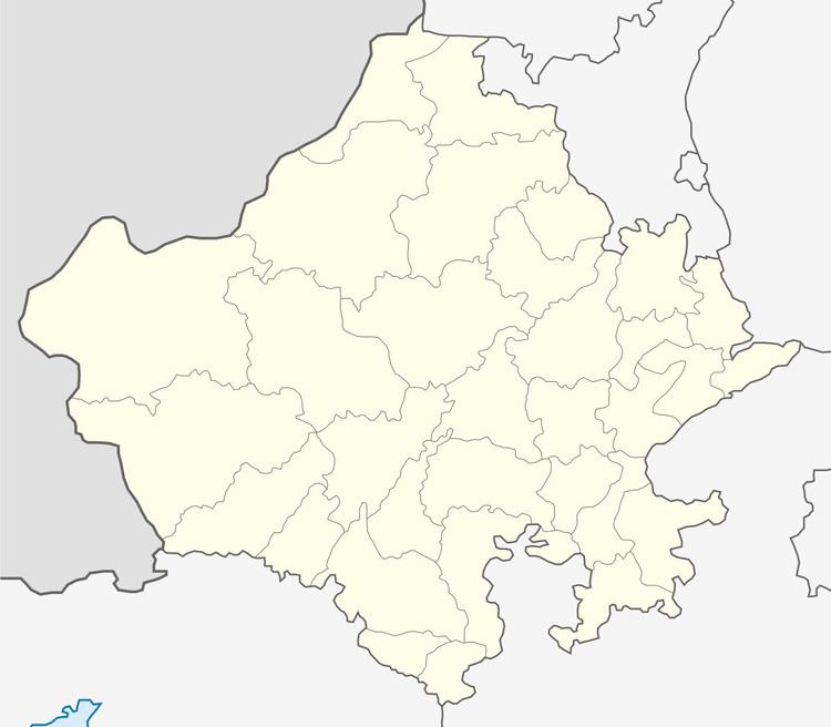
Map of Kotkasim, Rajasthan 301702
Kotkasim Tehsil forms a part of the Ahirwal region in which members of the Yadav community dominate.
Geography
Kotkasim is situated at latitude 28° 01' 45" N and longitude 76° 43' 15" E in northern part of Alwar district of Rajasthan at an elevation of 263 metres (863 ft).
Location
Kotkasim is located in the National Capital Region, 125 kilometres (78 mi) south of Delhi, 150 kilometres (93 mi) north of state capital Jaipur, 65 kilometres (40 mi) north of Alwar city, 25 kilometres (16 mi) east of Rewari city, 25 kilometres (16 mi) south of Dharuhera, 20 kilometres (12 mi) south of Bhiwadi and 20 kilometres (12 mi) north of Tijara, another town in Alwar district.
It is easily reached from NH8 (Delhi-Jaipur-Mumbai highway) via GarhiBolni village. Regular buses connect KotKasim to Rewari, Gurgaon, Manesar, Kishangarh Bas, Dharuhera, Bhiwadi, Tijara and Alwar.
Demography
Kotkasim was a City with population of under 28,000 in 2001 census. Now the city has population of around 55000 (Fifty five thousand persons), mainly Ahirs, Jats, saini and other castes.
Language
Ahirwati, also called ‘Hirwati’ (the language of Ahirs also Language of Rajputana), is spoken in Ahirwal.
Rewari, Mahendergarh, Narnaul, Gurgaon, Kotkasim, Kotputli, Bansur, Behror and Mundawar may be considered as the centre of Ahirwati speaking area.
Nearby villages
Jhanpuri(7 km), Sanoda Ahir(5 KM), Dumhera(5 KM), Joria(8 km), Khanpur Dagran(4.8KM), Harsauli(27 km), Budhibawal(12 km), Katopur(10 km), Nasopur(12 km), Moonpur Thakran (5 Km) , Ladpur(1.6 km), Gheekaka(1.8 km), Kanharka (2.3 km), Shri Chand Pura(4.4 km), Pur (4.4 km), Baghana(6.0 km), Gunsar (7.4 km ), Neemlaka(6.02), Beelaheri(4 km), Rampur, Narwas(4.2 km).
Other villages with the same postal code (301702) are Pur, Ujoli, Ladpur, Ikrotiya, Palpur.