
Area 7,216 km² | ||
 | ||
Other cities | ||
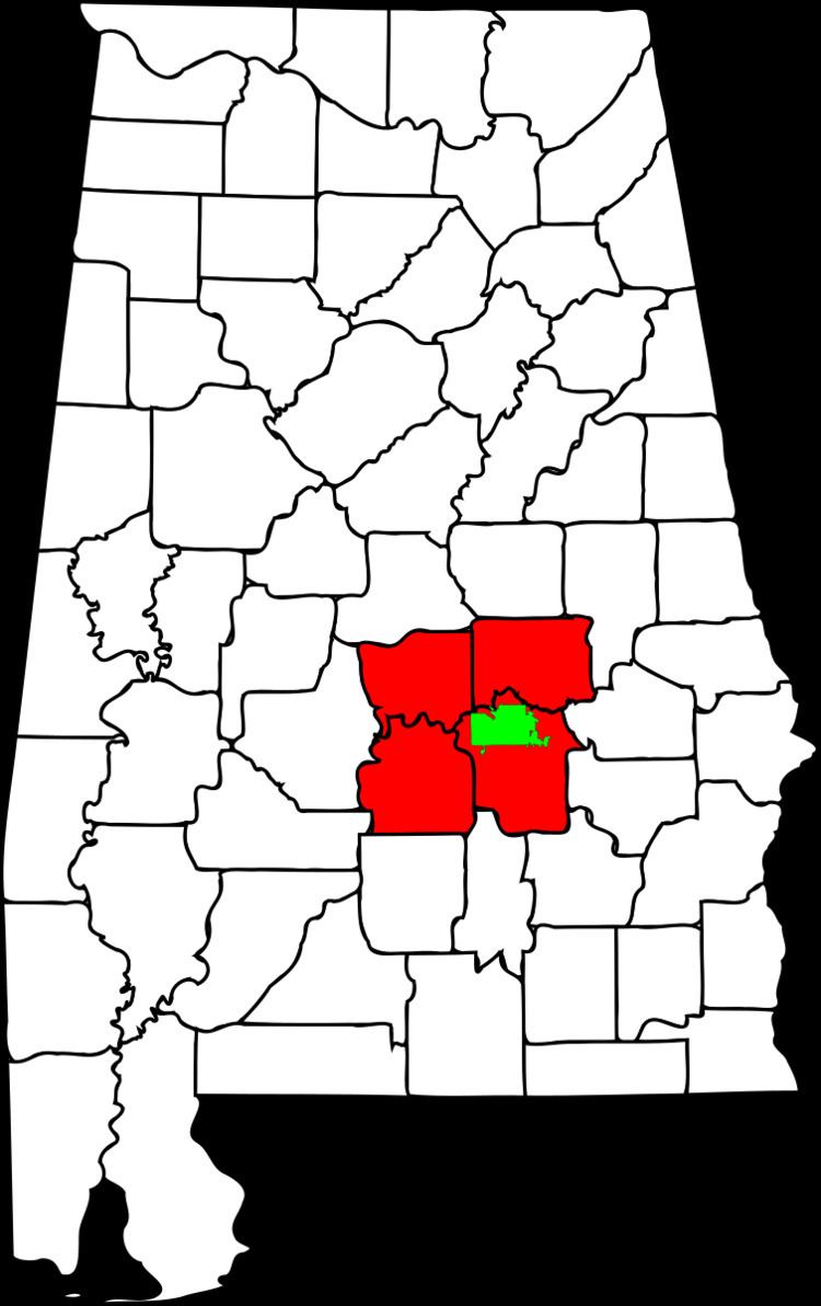
The Montgomery, Alabama Metropolitan Statistical Area (commonly known as the Montgomery Metropolitan Area or the River Region) is a metropolitan statistical area in central Alabama. As of 2010, the MSA had a population of 374,536, ranking it 136th among United States metropolitan areas.
Contents
Counties
Places with more than 200,000 inhabitants
Places with 10,000 to 35,000 inhabitants
Places with 1,000 to 10,000 inhabitants
Places with fewer than 1,000 inhabitants
Unincorporated places
Demographics
As of the census of 2000, there were 346,528 people, 129,717 households, and 90,298 families residing within the MSA. The racial makeup of the MSA was 57.32% White, 40.27% African American, 0.31% Native American, 0.77% Asian, 0.03% Pacific Islander, 0.37% from other races, and 0.94% from two or more races. Hispanic or Latino of any race were 1.20% of the population.
The median income for a household in the MSA was $35,567, and the median income for a family was $42,304. Males had a median income of $31,881 versus $22,995 for females. The per capita income for the MSA was $16,996.
Combined Statistical Area
The former Montgomery–Alexander City Combined Statistical Area (CSA) was made up of six counties in central Alabama. The statistical area included the Montgomery Metropolitan Statistical area and the former Alexander City Micropolitan Statistical Area, composed of Coosa and Tallapoosa Counties. As of the 2000 Census, the CSA had a population of 400,205 (though a July 1, 2009 estimate placed the population at 417,965).
In 2013, the United States Office of Management and Budget removed the Alexander City Micropolitan Statistical Area and Montgomery-Alexander City Combined Statistical Area from the list of metropolitan areas. Coosa County then became part of the Talladega-Sylacauga Micropolitan Statistical Area.