Elevation 2,641 m Province Yunnan Easiest route Rock climbing | First ascent unknown Prominence 1,625 m | |
 | ||
Similar Kennedy Peak, Gamlang Razi, Mount Saramati, Nat Ma Taung, Hkakabo Razi | ||
Above the highest peaks of loi leng mong ling shan and doi inthanon at 9000 ft with air balloon
Mong Ling Shan, also known as Möng Ling Shan, is one of the highest mountains of the Shan Hills. It is located in Shan State, Burma close to the border with China and 122 km to the ENE of Lashio.
Contents
- Above the highest peaks of loi leng mong ling shan and doi inthanon at 9000 ft with air balloon
- Map of Mong Ling Shan Cangyuan Lincang China
- Geography
- References
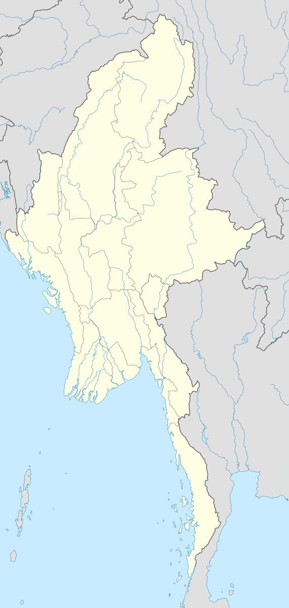
Map of Mong Ling Shan, Cangyuan, Lincang, China
Geography
Mong Ling Shan is the highest peak of a wooded massif located in the frontier area. With a height of 2,641 m and a prominence of 1,625 m, Mong Ling Shan is one of the ultra prominent peaks of Southeast Asia. The nearest villages are Man Ye-su, located about 4 km to the west, and Yindai 4 km to the east on the borderline. The town of Pan Lon lies 11 km to the SW.
References
Mong Ling Shan Wikipedia(Text) CC BY-SA
