
Country Burma Elevation 1,490 m | Time zone MST (UTC+6.30) | |
 | ||
Division | ||
Pan Lon, also known as Pang Long and Panlong, is the capital of Panlong Subtownship, Hopang District, in the Wa Self-Administered Division of Myanmar.
Contents
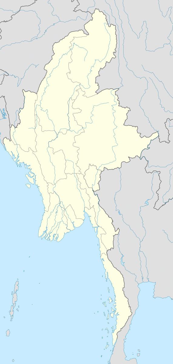
Map of Pan Lon, Myanmar (Burma)
Geography
The town is located west of the Salween on a high mountain valley between two ridges. The area is near the border with China, which lies at Mong Ling Shan mountain, about 11 km to the NE.
History
Sir George Scott described the town thus:
... It stands at a height of four thousand six hundred feet above sea level, in a hollow surrounded by abrupt low hills, or rather cliffs, with a singularly jagged outline. The number of houses has been steadily increasing, but they have not been counted and estimates vary greatly. These are, however, certainly over three hundred. They are built of a kind of trellis or wattle, covered with mud and sometimes white-washed, and have thatch roofs. Each house stands with its own little fenced enclosure with a garden of peach and pear trees. There is a sort of horsepond in the village, but the water is undrinkable and the supply of good water is unsatisfactory. It is brought down in little runnels from the western hills. Many of the slopes round the village are jungle covered, but in some places they are cleared for poppy cultivation. All the roads to Pang Long pass through two small defiles, one north and the other south of the village. At both north and south entrances there are recently built gateways constructed of sun-dried bricks, with loop holes and a thatched roof.