
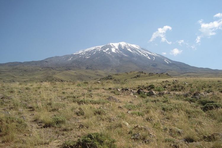
Elevation 3,826 m Mountain range Saramati Range | First ascent unknown Prominence 2,885 m Parent range Patkai | |
 | ||
Isolation 270 kilometres (170 mi) Similar Naga Hills, Hkakabo Razi, Reo Purgyil, Saltoro Kangri, Kangto | ||
Saramati (Pron:/ˌsæɹəˈmɑːti/) is a peak rising above the surrounding peaks at the mountainous border of Nagaland state, India and the Sagaing Region, Burma. It is located near Tuensang town, Tuensang district and Thanamir Village in the Kiphire district of Nagaland.
Map of Saramati Peak
With a height of 3,826 m and a prominence of 2,885 m, Saramati is one of the ultra prominent peaks of Southeast Asia.
References
Mount Saramati Wikipedia(Text) CC BY-SA