
Existed: 1934 – present Length 438.6 km | Constructed 1934 | |
 | ||
North end: Tenth Street South in downtown Minneapolis | ||
Minnesota State Highway 65 (MN 65) is a highway in the east–central and northeast parts of the U.S. state of Minnesota, which starts at its split from I-35W, skipping past the downtown Minneapolis core, only to resume at the intersection with Washington Avenue (Hennepin County Road 152) at the north end of downtown Minneapolis to continue north to its northern terminus at its intersection with U.S. Highway 71 (US 71) in Littlefork near International Falls.
Contents
Map of MN-65, Minnesota, USA
Highway 65 is a four lane expressway between Interstate 694 (I-694) in Fridley to just north of State Highway 95 at Cambridge.
The route continues as a two-lane roadway from Cambridge to its northern terminus at Littlefork in northern Minnesota.
At 272.511 miles (438.564 km) in length, State Highway 65 is the third longest state route in Minnesota, after MN 23 and MN 1.
Route description
State Highway 65 serves as a south–north route between Minneapolis, Fridley, Blaine, Cambridge, Mora, McGregor, Nashwauk, and Littlefork in east–central and northeast Minnesota.
The roadway is one of three Minnesota state-marked highways to carry the same number as an existing U.S. marked highway within the state, the others being Highways 61 and 169.
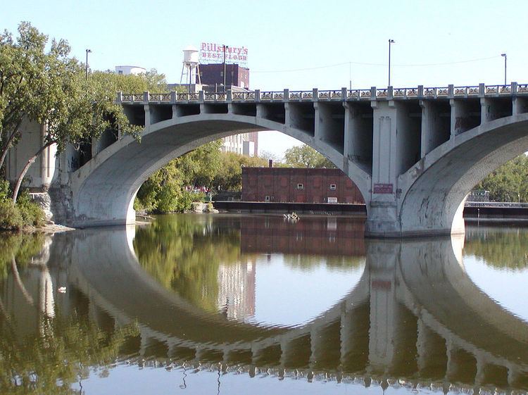
State Highway 65 begins at a split from I-35W south of downtown Minneapolis. The ramps end at an intersection with Tenth Street South, and so does the State Highway 65 designation, due to Mn/DOT returning control of the section through downtown to the city in 2005. The State Highway 65 designation resumes at the intersection of Washington Avenue (County 152) and 3rd Avenue South at the north end of downtown Minneapolis. Highway 65 is signed locally as 3rd Avenue South in downtown Minneapolis. 3rd Avenue South leads to the Third Avenue (Mississippi River) Bridge and becomes Central Avenue upon crossing the river. After its intersection with Hennepin Avenue, the route becomes Central Avenue NE. Highway 65 is signed locally as Central Avenue NE for this section. Many Minnesota landmarks are located on Central Avenue NE including the Aveda Institute, the Heights Theater, and the National Sports Center. The route remains Central Avenue until separating in Ham Lake, except for a split in Fridley and Spring Lake Park between I-694 and US 10.
The route is a divided highway from Minneapolis to Cambridge, with a 60 miles per hour (97 km/h) speed limit, increasing to 65 miles per hour (105 km/h) speed limit beginning in Ham Lake, just outside Blaine.
Savanna Portage State Park in Aitkin County is located 11 miles (18 km) northeast of the junction of Highway 65 and County Road 14 in Shamrock Township near McGregor. The park entrance is located on County Road 14 in nearby Balsam Township.
History
State Highway 65 was authorized in 1934 and 1935. The route was numbered as an extension of old US 65.
By 1940, the route was paved from Minneapolis to just north of McGrath in Aitkin County. By 1949, the route was paved as far north as Libby. By 1953, the route was paved north to its intersection with US 2 at Swan River in Itasca County. Sections of Highway 65 north of US 2 were paved in the 1960s and 1970s. The last section of Highway 65 paved was through the Nett Lake Indian Reservation in 2000.
The expressway section of Highway 65 between I-694 in Fridley to Spring Lake Park was constructed on a new alignment in 1953.
The Highway 65 expressway bypass in Cambridge was completed circa 1993.
A portion of State Highway 65 used to be part of old US 65. US 65 still enters Minnesota from Iowa, but ends now in the city of Albert Lea, where it has a junction with Interstate 35. I-35 and I-35W roughly follow the same route old US 65 used to take from Albert Lea to downtown Minneapolis. Before the freeways were built, the original US 65 had followed Lyndale Avenue between Burnsville and Minneapolis.
In July 2005, the eight-block-long section of State Highway 65 in downtown Minneapolis, between Washington Avenue and the junction of Tenth Street South with the on/off ramps to I-35W, was turned back to city maintenance. This turn-back leaves State Highway 65 with a gap through downtown. The ramps leading to/going from Minneapolis surface streets south to their junction with Interstate 35W are still part of State Highway 65 according to (on pg 613), as indicated by the MN 65 shields used on the updated mileposts along those ramps.
It was the last Minnesota State Highway (along with Minnesota State Highway 55) to directly run through Downtown Minneapolis, ending a 70-year era in which Minnesota State Trunk Highways would have a segment running directly through Downtown Minneapolis.
Highway 65 is designated as Legislative Route 105 between Washington Avenue and 37th Avenue Northeast, then as Constitutional Route 5 from Minneapolis to Swan River, then as Legislative Route 159 to Little Fork. The route is not marked with those numbers.