
Country United States Elevation 259 m Local time Wednesday 1:18 PM | GNIS feature ID 0453626 Area 60.06 km² Population 10,882 (2010) | |
 | ||
Weather -1°C, Wind E at 23 km/h, 54% Humidity | ||
Mill Township is one of thirteen townships in Grant County, Indiana, United States. As of the 2010 census, its population was 10,882 and it contained 4,809 housing units.
Contents
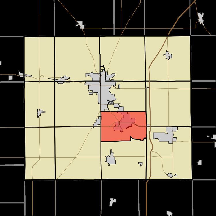
- Map of Mill Township IN USA
- Geography
- Cities and towns
- Adjacent townships
- Cemeteries
- Major highways
- References
Map of Mill Township, IN, USA
Geography
According to the 2010 census, the township has a total area of 23.19 square miles (60.1 km2), of which 23.18 square miles (60.0 km2) (or 99.96%) is land and 0.01 square miles (0.026 km2) (or 0.04%) is water. The streams of Bean Run, City Run, Ethel Run, Long Branch, Octain Creek, Regular Run and Shell Run run through this township.
Cities and towns
Adjacent townships
Cemeteries
The township contains two cemeteries: Riverside and Walnut Creek.
Major highways
References
Mill Township, Grant County, Indiana Wikipedia(Text) CC BY-SA