
Country United States Elevation 266 m Local time Thursday 10:34 PM | GNIS feature ID 0453554 Area 109.3 km² Population 1,028 (2010) | |
 | ||
Weather -2°C, Wind E at 2 km/h, 65% Humidity | ||
Liberty Township is one of thirteen townships in Grant County, Indiana, United States. As of the 2010 census, its population was 1,028 and it contained 428 housing units.
Contents
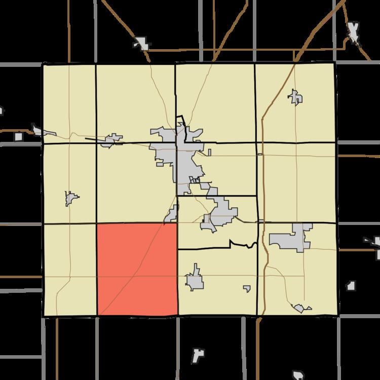
- Map of Liberty Township IN USA
- Geography
- Cities and towns
- Unincorporated towns
- Adjacent townships
- Major highways
- References
Map of Liberty Township, IN, USA
Geography
According to the 2010 census, the township has a total area of 42.19 square miles (109.3 km2), of which 42.19 square miles (109.3 km2) (or 100%) is land and 0.01 square miles (0.026 km2) (or 0.02%) is water. The streams of Little Creek and Little Deer Creek run through this township.
Cities and towns
Unincorporated towns
(This list is based on USGS data and may include former settlements.)
Adjacent townships
Major highways
References
Liberty Township, Grant County, Indiana Wikipedia(Text) CC BY-SA