
Country United States Elevation 274 m Local time Friday 2:14 PM University Taylor University | GNIS feature ID 0453484 Area 108.5 km² Population 5,839 (2010) | |
 | ||
Weather 2°C, Wind NW at 29 km/h, 37% Humidity | ||
Jefferson Township is one of thirteen townships in Grant County, Indiana, United States. As of the 2010 census, its population was 5,839 and it contained 1,758 housing units.
Contents
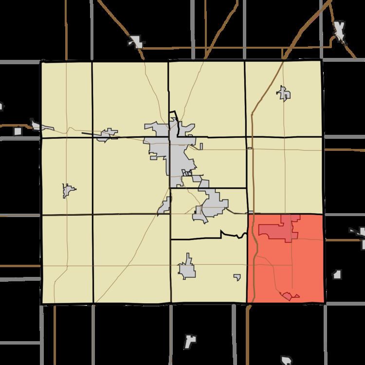
- Map of Jefferson Township IN USA
- History
- Geography
- Cities and towns
- Adjacent townships
- Cemeteries
- Major highways
- References
Map of Jefferson Township, IN, USA
History
The Cumberland Covered Bridge was listed on the National Register of Historic Places in 1978.
Geography
According to the 2010 census, the township has a total area of 41.9 square miles (109 km2), of which 41.76 square miles (108.2 km2) (or 99.67%) is land and 0.14 square miles (0.36 km2) (or 0.33%) is water. Lakes in this township include Dollar Lake. The streams of Branch Creek, Cane Run, Crawford Creek, Lake Branch, Mat Run, Round Run and Upland Drain run through this township.
Cities and towns
Adjacent townships
Cemeteries
The township contains one cemetery, Shiloh.
Major highways
References
Jefferson Township, Grant County, Indiana Wikipedia(Text) CC BY-SA