
Country United States GNIS feature ID 0453570 Local time Friday 10:53 PM | Elevation 879 ft (268 m) Population 28,665 (2010) | |
 | ||
Weather 7°C, Wind W at 11 km/h, 93% Humidity Points of interest Arbuckle Acres Park, Williams Park, Brownsburg Parks & Recreation | ||
Lincoln Township is one of twelve townships in Hendricks County, Indiana, United States. As of the 2010 census, its population was 28,665.
Contents
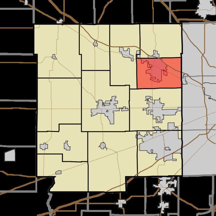
- Map of Lincoln Township IN USA
- History
- Geography
- Cities and towns
- Unincorporated towns
- Adjacent townships
- Cemeteries
- Major highways
- Airports and landing strips
- References
Map of Lincoln Township, IN, USA
History
Lincoln Township was organized in 1863.
Geography
Lincoln Township covers an area of 23.91 square miles (61.9 km2); of this, 0.09 square miles (0.23 km2) or 0.39 percent is water. The streams of Bullard Creek, Hughes Branch and West Fork White Lick Creek run through this township.
Cities and towns
Unincorporated towns
(This list is based on USGS data and may include former settlements.)
Adjacent townships
Cemeteries
The township contains twelve cemeteries: Bell, Brown, Brownsburg, Greenlawn, Hoadley, Lingeman, McDaniels, Prebster, Saint Malachy East, Turpin, Walker and Ward (historical).
Major highways
Airports and landing strips
References
Lincoln Township, Hendricks County, Indiana Wikipedia(Text) CC BY-SA