
Founded 1826 Congressional district 18th Area 1,528 km² | Population 32,464 (2013) | |
 | ||
Rivers La Moine River, Camp Creek, Baptist Creek | ||
Mcdonough county illinois rollover accident 10 16 14
McDonough County is a county in the U.S. state of Illinois. According to the 2010 census, it had a population of 32,612. Its county seat is Macomb.
Contents
- Mcdonough county illinois rollover accident 10 16 14
- Map of McDonough County IL USA
- History
- Geography
- Climate and weather
- Major highways
- Adjacent counties
- Demographics
- Politics
- Cities
- Census designated places
- Other unincorporated place
- References
Map of McDonough County, IL, USA
The Macomb, IL Micropolitan Statistical Area includes all of McDonough County.
History
McDonough County is named in honor of Thomas Macdonough who defeated a British squadron in the decisive naval Battle of Lake Champlain in the War of 1812. McDonough County was part of the "Military Tract" set aside by Congress for veterans of the War of 1812.
Geography
According to the U.S. Census Bureau, the county has a total area of 590 square miles (1,500 km2), of which 589 square miles (1,530 km2) is land and 0.8 square miles (2.1 km2) (0.1%) is water.
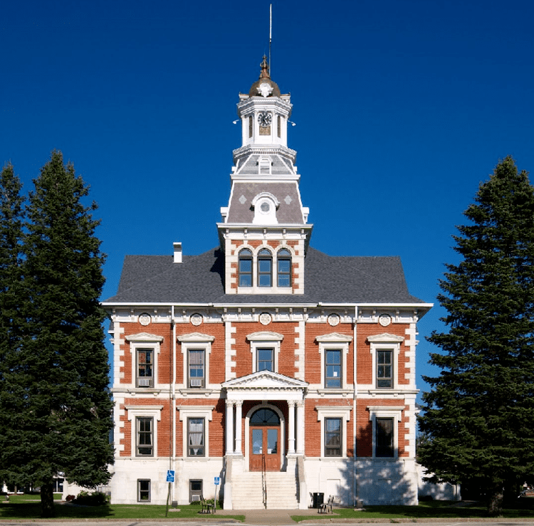
The county has the unusual distinction of forming a perfect square by Mercator map projection. The county seat, Macomb, is in the center of the county, and the courthouse is almost precisely in the center of the county.
Climate and weather
In recent years, average temperatures in the county seat of Macomb have ranged from a low of 13 °F (−11 °C) in January to a high of 87 °F (31 °C) in July, although a record low of −30 °F (−34 °C) was recorded in February 1905 and a record high of 113 °F (45 °C) was recorded in August 1934. Average monthly precipitation ranged from 1.47 inches (37 mm) in January to 4.58 inches (116 mm) in May.
Major highways
Adjacent counties
Demographics
As of the 2010 United States Census, there were 32,612 people, 13,057 households, and 6,724 families residing in the county. The population density was 55.3 inhabitants per square mile (21.4/km2). There were 14,419 housing units at an average density of 24.5 per square mile (9.5/km2). The racial makeup of the county was 90.4% white, 5.0% black or African American, 1.8% Asian, 0.2% American Indian, 0.7% from other races, and 1.8% from two or more races. Those of Hispanic or Latino origin made up 2.7% of the population. In terms of ancestry, 25.0% were German, 14.7% were American, 13.7% were Irish, 12.7% were English, and 5.1% were Italian.
Of the 13,057 households, 22.0% had children under the age of 18 living with them, 40.0% were married couples living together, 8.0% had a female householder with no husband present, 48.5% were non-families, and 33.9% of all households were made up of individuals. The average household size was 2.19 and the average family size was 2.80. The median age was 28.9 years.
The median income for a household in the county was $33,702 and the median income for a family was $52,390. Males had a median income of $42,297 versus $28,530 for females. The per capita income for the county was $18,344. About 12.8% of families and 23.7% of the population were below the poverty line, including 21.7% of those under age 18 and 9.4% of those age 65 or over.
Politics
McDonough County is located in Illinois's 18th Congressional District and is currently represented by Republican Davin LaHood. For the Illinois House of Representatives, the county is located in the 93rd district and is currently represented by Republican Norine Hammond. The county is located in the 47th district of the Illinois Senate, and is currently represented by Democrat John Sullivan, but will be represented by Republican Jil Tracy beginning in January 2017.
In presidential elections, McDonough County was once reliably Republican, voting for the Republican candidate in all but one election (1932) from 1916 through 1988. Since 1988, the county has become more competitive, with Democrats carrying the county three out of seven times and holding the Republican candidate's margin of victory to under four points three times.