
Country United States ZIP code 61411 Elevation 197 m Population 210 (2010) | Time zone Central (CST) (UTC-6) Area code(s) 309 Area 111 ha Local time Wednesday 9:58 PM | |
 | ||
Weather 2°C, Wind NW at 24 km/h, 69% Humidity | ||
Adair is an unincorporated census-designated place (CDP) in McDonough County, Illinois, United States. Adair is part of the New Salem Township. The town is served by U.S. Route 136, and the Chicago, Burlington and Quincy Railroad runs through the town. Adair was laid out in August 1870 under the name of Reedyville; though the name has never been officially changed, the location is known as Adair because that name was given to the post office. Adair has a population of 210 as of 2010.
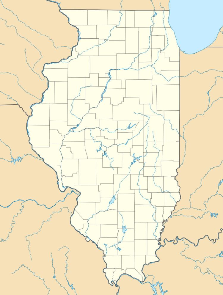
Map of Adair, IL 61411, USA
References
Adair, Illinois Wikipedia(Text) CC BY-SA