
 | ||
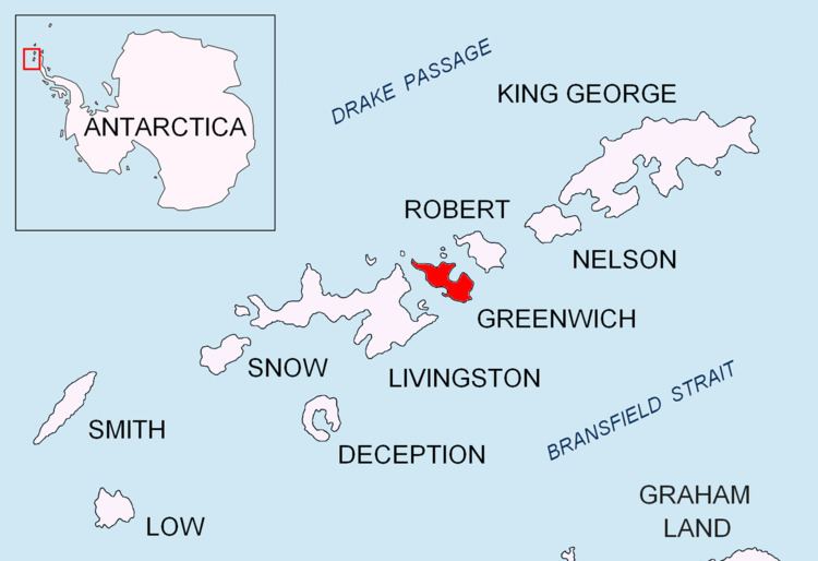
Maystora Peak (Vrah Maystora \'vr&h 'may-sto-ra) is a rocky peak rising to 350 m in Breznik Heights on Greenwich Island, Antarctica. Situated 580 m east of Razgrad Peak, 940 m south by west of Ilinden Peak, 2.13 km west of Viskyar Ridge, and 1.38 km northeast of the highest point of Ephraim Bluff. Overlooking Zheravna Glacier to the north, east, and south. Bulgarian topographic survey Tangra 2004/05. Named after the famous Bulgarian artist Vladimir Dimitrov – ‘Maystora’ (1882-1960).
Contents
Map of Maystora Peak, Antarctica
Maps
References
Maystora Peak Wikipedia(Text) CC BY-SA