
 | ||
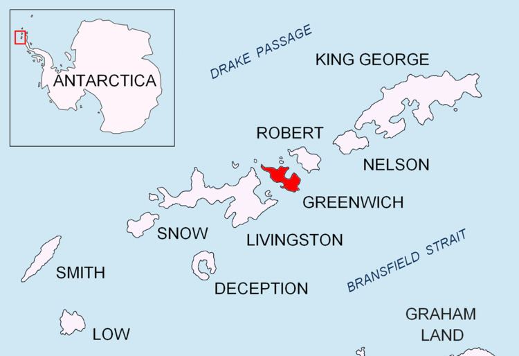
Ephraim Bluff is a 425 m ice-free bluff in the south of Breznik Heights, Greenwich Island in the South Shetland Islands, Antarctica. The bluff is linked to Razgrad Peak to the north-northeast and separates the termini of Wulfila Glacier to the northwest and Zheravna Glacier to the east.
Contents
The feature was charted and named 'Mount Ephraim' as early as 1820-22 by American sealers who used it as a lead mark for the nearby Yankee Harbour.
Location
The coastal point formed by the bluff is located at 62°33′24.2″S 59°43′14.5″W which is 3.3 km west by north of Sartorius Point, 7.31 km northeast of Renier Point, Livingston Island and 7.44 km southeast of Triangle Point. British mapping in 1821, 1935 and 1968, Argentine in 1948, Chilean in 1974, and Bulgarian in 2005 and 2009.