Girish Mahajan (Editor)

Mandurah Road

Updated on
Edit
Like
Comment
Share on FacebookTweet on TwitterShare on LinkedInShare on Reddit
Type
  
Highway

Major cities
  
Mandurah, Baldivis

Length
  
41 km

Mandurah Road

Route number(s)
  
National Route 1 (Ennis Avenue – Old Coast Road) State Route 22 (Dixon Road – Kulija Road)

North end
  
Rockingham Road (National Route 1), Kwinana Beach

South end
  
Old Coast Road (National Route 1), Halls Head

Major settlements
  
Baldivis, Karnup, Meadow Springs, Western Australia

Mandurah Road is the name given to two roads in the cities of Perth and Mandurah, Western Australia, which link together at Stakehill Road, Karnup.

Contents

Map of Mandurah Rd, Western Australia, Australia

Route description

The northern part starts in the Kwinana Beach industrial area. After 2 km and reaching the City of Rockingham boundary, it becomes a semi-rural single carriageway road which runs past wetlands east of Rockingham such as Lake Cooloongup and Lake Walyungup. It also provides access to the residential and rural-residential sections of the suburb of Baldivis.

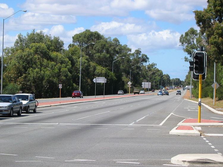
The southern part starts at Stakehill Road and is a dual carriageway and part of National Highway 1. It is actually a continuation of Ennis Avenue coming from Rockingham. It continues to Mandurah, where it intersects with Mandjoogoordap Drive at a roundabout before crossing Pinjarra Road and heading west to meet Old Coast Road which is the main road to Bunbury and South West of Western Australia.

History

Until 2005, the road changed name at the City of Mandurah boundary line (between Singleton and Madora Bay) to "Fremantle Road", but this was changed by a decision of the City of Mandurah in September 2005. This change has been recognised by the Government in the 2007 Streetsmart street directory.

Major intersections

  • Wellard Road - to Leda, Parmelia and Wellard.
  • Dixon Road (State Route 22) west / Gilmore Avenue east:
  • West to Rockingham Trade Centre and Murdoch University Rockingham Campus
  • East to Wellard and Kwinana
  • Kulija Road (State Route 22) to the Kwinana Freeway intersection with Mundijong Road.
  • Safety Bay Road (State Route 18):
  • West to Safety Bay
  • East to Baldivis and Kwinana Freeway
  • Stakehill Road - to Karnup Nature Reserve.
  • Anstey Road - to Secret Harbour
  • Dampier Drive - to Golden Bay, Secret Harbour and Warnbro
  • Paganoni Road
  • Singleton Beach Road - to Singleton
  • Former Fremantle Road:

  • Madora Beach Road - to Madora Bay
  • Meadow Springs Drive - to Meadow Springs
  • Mandurah Terrace - to Mandurah Foreshore
  • Gordon Road - to Greenfields, Nambeelup and eventually South Western Highway at North Dandalup
  • Mandjoogoordap Drive (State Route 19) north / Exchequer Avenue east
  • North to Stake Hill, direct link to the Kwinana Freeway to Perth/Bunbury.
  • East to Peel Education Campus, Greenfields.
  • Allnutt Street/Murdoch Drive - Mandurah railway station, Peel Health Campus
  • Pinjarra Road:
  • West to Mandurah Foreshore and Halls Head
  • East to Greenfields, Coodanup and Pinjarra
  • References

    Mandurah Road Wikipedia