Airport type Public Elevation AMSL 255 ft / 78 m 5,545 1,690 Elevation 78 m | 12/30 5,545 1,690 Asphalt Phone +1 559-661-3687 | |
 | ||
Address 4020 Aviation Dr, Madera, CA 93637, USA Similar Fresno Yosemite Internatio, John W Wells Youth Ce, Merced Regional Airport, Chowchilla Muni Airport‑2O6, El Peco Ranch Airport | ||
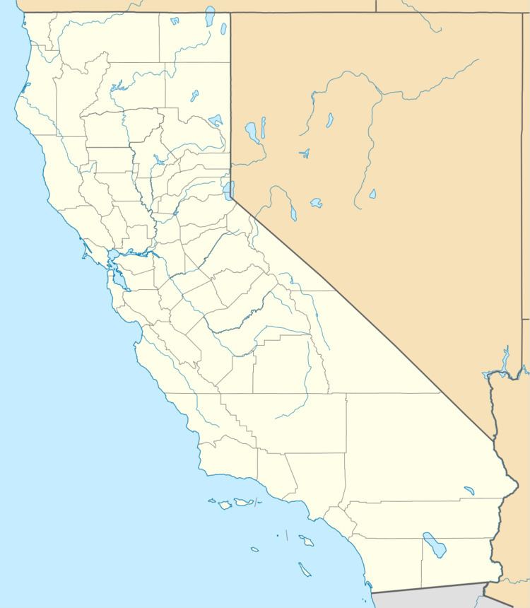
Madera Municipal Airport (IATA: MAE, ICAO: KMAE, FAA LID: MAE) is a city-owned public airport three miles northwest of Madera, in Madera County, California. It is in the FAA's National Plan of Integrated Airport Systems for 2011–2015, which categorized it as a general aviation facility.
Contents
Facilities and aircraft
Madera Municipal Airport covers 524 acres (212 ha) at an elevation of 255 feet (78 m) above mean sea level. It has two asphalt runways: 12/30 is 5,545 by 150 feet (1,690 x 46 m) and 7/25 is 3,702 by 150 feet (1,128 x 46 m).
In the year ended August 25, 2010 the airport had 50,950 aircraft operations, an average of 139 per day: 98% general aviation, 1% air taxi, and <1% military. 92 aircraft were then based at this airport: 66% single-engine, 8% multi-engine, 9% jet, 7% helicopter, 1% glider, and 10% ultralight.
History
In 1943 the City of Madera leased the airport to the Army Corps of Engineers to be used by the Army Air Force for fueling planes flying north to south. Six months after the end of World War II, the land reverted to the city.
