
Elevation 1,229 m (4,032 ft) Time zone CET (UTC+1) Local time Thursday 7:09 PM Postal code 39030 | Demonym(s) German: Mühlwaldner Area 104.7 km² Dialling code 0474 | |
 | ||
Frazioni Außermühlwald, Lappach (Lappago) Weather 7°C, Wind S at 8 km/h, 60% Humidity Region Trentino-Alto Adige/South Tyrol | ||
M hlwald
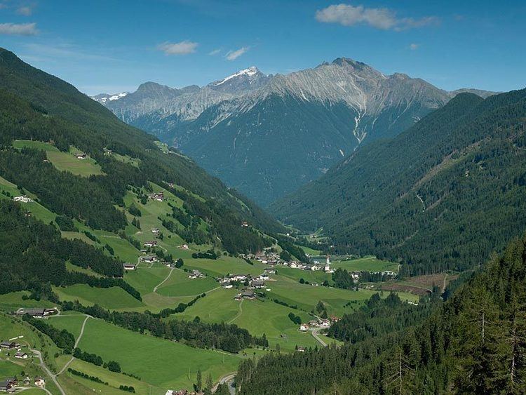
Mühlwald ( [ˈmyˑlvalt]; Italian: Selva dei Molini [ˈselva dei moˈliːni]) is a comune (municipality) in South Tyrol, a province in northern Italy, located about 60 kilometres (37 mi) northeast of Bolzano, on the border with Austria.
Contents
- M hlwald
- Map of 39030 Selva dei Molini Province of Bolzano South Tyrol Italy
- M hlwald x bird 250
- Geography
- Coat of arms
- Linguistic distribution
- References
Map of 39030 Selva dei Molini Province of Bolzano - South Tyrol, Italy
M hlwald x bird 250
Geography
As of 30 November 2010, it had a population of 1,476 and an area of 104.7 square kilometres (40.4 sq mi).
The municipality of Mühlwald contains the frazioni of (subdivisions, mainly villages and hamlets) Außermühlwald and Lappach (Lappago).
Mühlwald borders the following municipalities: Sand in Taufers, Kiens, Pfalzen, Finkenberg (Austria), Gais, Terenten, Pfitsch, Ahrntal, and Vintl.
Coat-of-arms
The emblem represents four fir-trees, touching the edge at the top and a water wheel on the bottom, all on a silver background. The trees symbolize the forest and the wheel the mill depicting the name of the place. The emblem was adopted in 1967.
Linguistic distribution
According to the 2001 census, 98.90% of the population speak German, 0.90% Italian and 0.21% Ladin as first language.