
 | ||
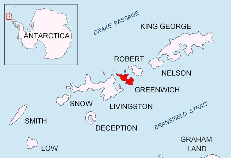
Lyutitsa Nunatak (Nunatak Lyutitsa \'nu-na-tak lyu-'ti-tsa) is a rocky peak of elevation 430 m projecting from the ice cap in Breznik Heights on Greenwich Island, Antarctica. Overlooking Musala Glacier to the north, east, and south. Bulgarian topographic survey Tangra 2004/05.
Contents
The feature is named after the medieval fortress of Lyutitsa in the Eastern Rhodope Mountains, Bulgaria.
Location
The peak is located at 62°31′51″S 59°38′06″W which is 1.81 km west-southwest of Ilarion Ridge, 2.56 km east by north of Momchil Peak, and 1.08 km north of Vratsa Peak (Bulgarian mapping in 2009).
Maps
References
Lyutitsa Nunatak Wikipedia(Text) CC BY-SA