
Country United States Elevation 214 m Local time Monday 11:17 PM | GNIS feature ID 0453583 Area 76.51 km² Population 1,160 (2010) | |
 | ||
Weather -1°C, Wind N at 11 km/h, 92% Humidity | ||
Lovett Township is one of eleven townships in Jennings County, Indiana, United States. As of the 2010 census, its population was 1,160 and it contained 435 housing units.
Contents
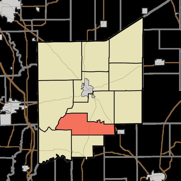
- Map of Lovett Township IN USA
- Geography
- Unincorporated towns
- Adjacent townships
- Cemeteries
- Major highways
- References
Map of Lovett Township, IN, USA
Geography
According to the 2010 census, the township has a total area of 29.54 square miles (76.5 km2), of which 29.45 square miles (76.3 km2) (or 99.70%) is land and 0.09 square miles (0.23 km2) (or 0.30%) is water. The streams of Polly Branch and Turkey Run run through this township.
Unincorporated towns
Adjacent townships
Cemeteries
The township contains four cemeteries: Green, Marsh, Meek and Weston.
Major highways
References
Lovett Township, Jennings County, Indiana Wikipedia(Text) CC BY-SA