
Country United States Elevation 228 m Local time Sunday 7:13 AM | GNIS feature ID 0453957 Area 88.27 km² Population 2,809 (2010) | |
 | ||
Weather 3°C, Wind E at 8 km/h, 96% Humidity | ||
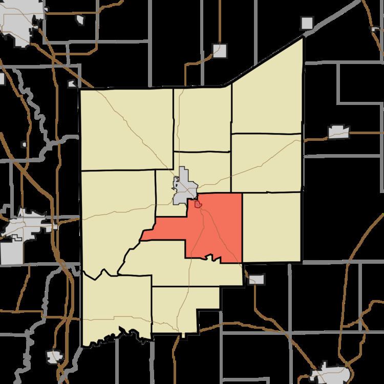
Vernon Township is one of eleven townships in Jennings County, Indiana, United States. As of the 2010 census, its population was 2,809 and it contained 1,118 housing units.
Contents
- Map of Vernon Township IN 47265 USA
- Geography
- Cities and towns
- Unincorporated towns
- Adjacent townships
- Cemeteries
- Major highways
- References
Map of Vernon Township, IN 47265, USA
Geography
According to the 2010 census, the township has a total area of 34.08 square miles (88.3 km2), of which 33.98 square miles (88.0 km2) (or 99.71%) is land and 0.1 square miles (0.26 km2) (or 0.29%) is water. The streams of Crooked Creek, Duck Branch, Goose Run and Huckleberry Branch run through this township.
Cities and towns
Unincorporated towns
Adjacent townships
Cemeteries
The township contains six cemeteries: Baldwin, Coryell, Ebenezer, Stewart, Sullivan and Vernon.
Major highways
References
Vernon Township, Jennings County, Indiana Wikipedia(Text) CC BY-SA