
Country United States Elevation 242 m Local time Sunday 12:51 AM | GNIS feature ID 0453539 Area 83.48 km² Population 1,511 (2010) | |
 | ||
Weather -3°C, Wind N at 10 km/h, 51% Humidity | ||
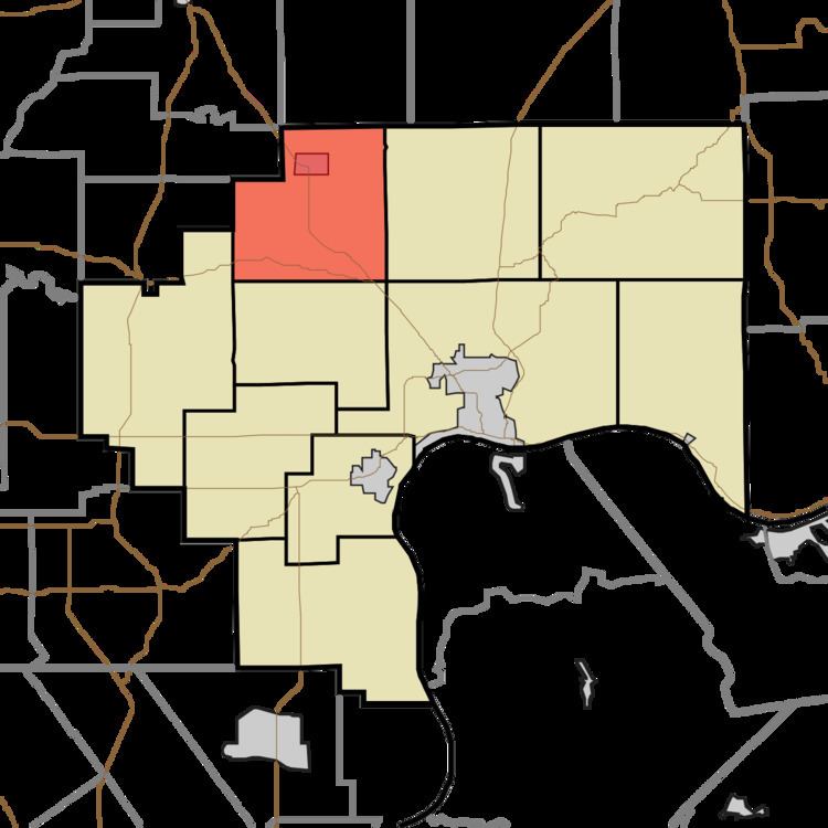
Lancaster Township is one of ten townships in Jefferson County, Indiana, United States. As of the 2010 census, its population was 1,511 and it contained 635 housing units.
Contents
- Map of Lancaster Township IN USA
- History
- Geography
- Cities and towns
- Unincorporated towns
- Extinct towns
- Adjacent townships
- Cemeteries
- Major highways
- References
Map of Lancaster Township, IN, USA
History
Eleutherian College and the Lyman and Asenath Hoyt House are listed on the National Register of Historic Places.
Geography
According to the 2010 census, the township has a total area of 32.23 square miles (83.5 km2), of which 32.18 square miles (83.3 km2) (or 99.84%) is land and 0.05 square miles (0.13 km2) (or 0.16%) is water. The streams of Middle Fork Creek and Turkey Branch run through this township.
Cities and towns
Unincorporated towns
Extinct towns
Adjacent townships
Cemeteries
The township contains five cemeteries: Bland, Clashman, College Hill, Nelson and Ogden.
Major highways
References
Lancaster Township, Jefferson County, Indiana Wikipedia(Text) CC BY-SA