
Country United States Elevation 207 m Local time Saturday 12:19 AM | GNIS feature ID 0453650 Area 52.4 km² Population 978 (2010) | |
 | ||
Weather 8°C, Wind SW at 5 km/h, 100% Humidity | ||
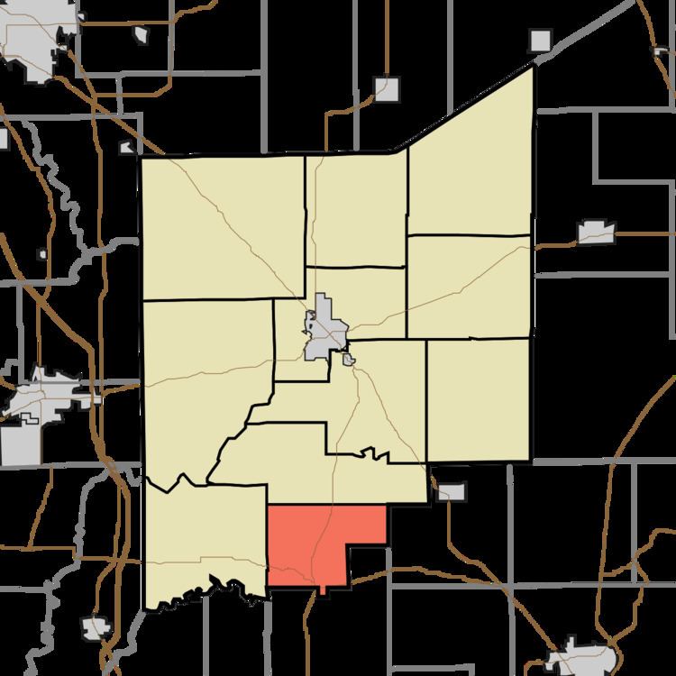
Montgomery Township is one of eleven townships in Jennings County, Indiana, USA. As of the 2010 census, its population was 978 and it contained 416 housing units.
Contents
- Map of Montgomery Township IN USA
- Geography
- Unincorporated towns
- Adjacent townships
- Cemeteries
- Major highways
- References
Map of Montgomery Township, IN, USA
Geography
According to the 2010 census, the township has a total area of 20.23 square miles (52.4 km2), of which 20.21 square miles (52.3 km2) (or 99.90%) is land and 0.01 square miles (0.026 km2) (or 0.05%) is water. The streams of Bear Creek, Davis Branch and Little Bear Creek run through this township.
Unincorporated towns
Adjacent townships
Cemeteries
The township contains one cemetery, Hopewell.
Major highways
References
Montgomery Township, Jennings County, Indiana Wikipedia(Text) CC BY-SA