
Country United States Elevation 179 m Local time Monday 12:17 AM | GNIS feature ID 0453608 Area 85.52 km² Population 1,117 (2010) | |
 | ||
Weather 1°C, Wind E at 11 km/h, 42% Humidity | ||
Marion Township is one of eleven townships in Jennings County, Indiana, United States. As of the 2010 census, its population was 1,117 and it contained 457 housing units.
Contents
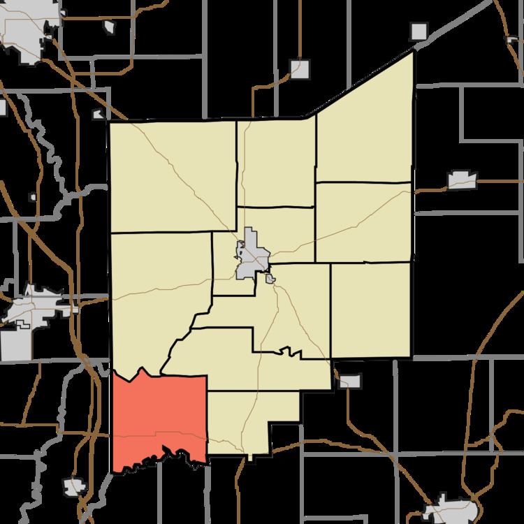
Map of Marion Township, IN, USA
Geography
According to the 2010 census, the township has a total area of 33.02 square miles (85.5 km2), of which 32.99 square miles (85.4 km2) (or 99.91%) is land and 0.04 square miles (0.10 km2) (or 0.12%) is water. The streams of Brushy Fork, Crooked Creek, Sixmile Creek and Slate Creek run through this township.
Adjacent townships
Cemeteries
The township contains two cemeteries: German and Keith.
Major highways
References
Marion Township, Jennings County, Indiana Wikipedia(Text) CC BY-SA