
Country United States Time zone CST (UTC-6) Elevation 201 m Local time Monday 6:51 PM | Created 1902 GNIS feature ID 0429285 Area 52.78 km² Population 257 (2010) | |
 | ||
Weather -2°C, Wind NE at 14 km/h, 97% Humidity | ||
Love Township is a township in Vermilion County, Illinois, USA. As of the 2010 census, its population was 257 and it contained 105 housing units.
Contents
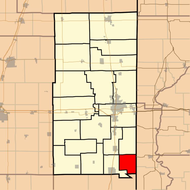
Map of Love Township, IL, USA
History
Love Township was created in 1902. It was named for a Vermilion county judge named I. A. Love.
Geography
According to the 2010 census, the township has a total area of 20.38 square miles (52.8 km2), of which 20.37 square miles (52.8 km2) (or 99.95%) is land and 0.01 square miles (0.026 km2) (or 0.05%) is water. The stream of Yankee Branch runs through this township.
Extinct towns
Adjacent townships
Cemeteries
The township contains three cemeteries: Bethel, Whitlock and Yankee Point.
References
Love Township, Vermilion County, Illinois Wikipedia(Text) CC BY-SA