
Country United States GNIS feature ID 0429048 Area 66.38 km² Population 7,901 (2010) | Time zone CST (UTC-6) Elevation 204 m Local time Sunday 8:43 AM | |
 | ||
Weather -4°C, Wind E at 3 km/h, 59% Humidity | ||
Georgetown Township is a township in Vermilion County, Illinois, USA. As of the 2010 census, its population was 7,901 and it contained 3,573 housing units.
Contents
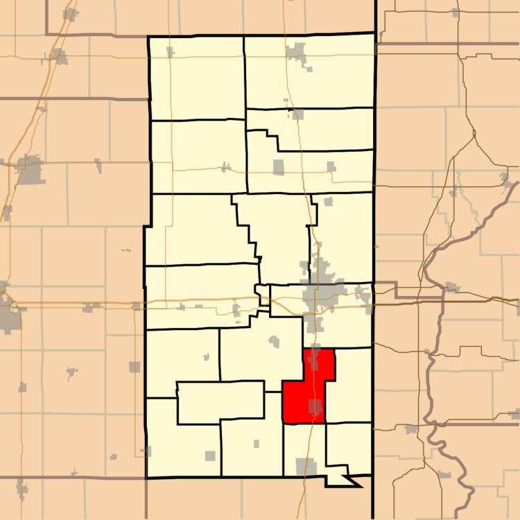
- Map of Georgetown Township IL USA
- Geography
- Cities and towns
- Extinct towns
- Adjacent townships
- Cemeteries
- Major highways
- References
Map of Georgetown Township, IL, USA
Geography
According to the 2010 census, the township has a total area of 25.63 square miles (66.4 km2), of which 25.6 square miles (66 km2) (or 99.88%) is land and 0.03 square miles (0.078 km2) (or 0.12%) is water.
Cities and towns
Extinct towns
Adjacent townships
Cemeteries
The township contains seven cemeteries: Dukes, Forest Park, Lithuanian, Pleasant Mound, Saints Peter and Paul, Sandusky and Searl.
Major highways
References
Georgetown Township, Vermilion County, Illinois Wikipedia(Text) CC BY-SA