
Country United States Elevation 187 m Local time Sunday 5:34 AM | GNIS feature ID 453954 Area 132 km² Population 924 (2010) | |
 | ||
ZIP codes 47847, 47854 47928, 47966 Weather 5°C, Wind E at 3 km/h, 95% Humidity | ||
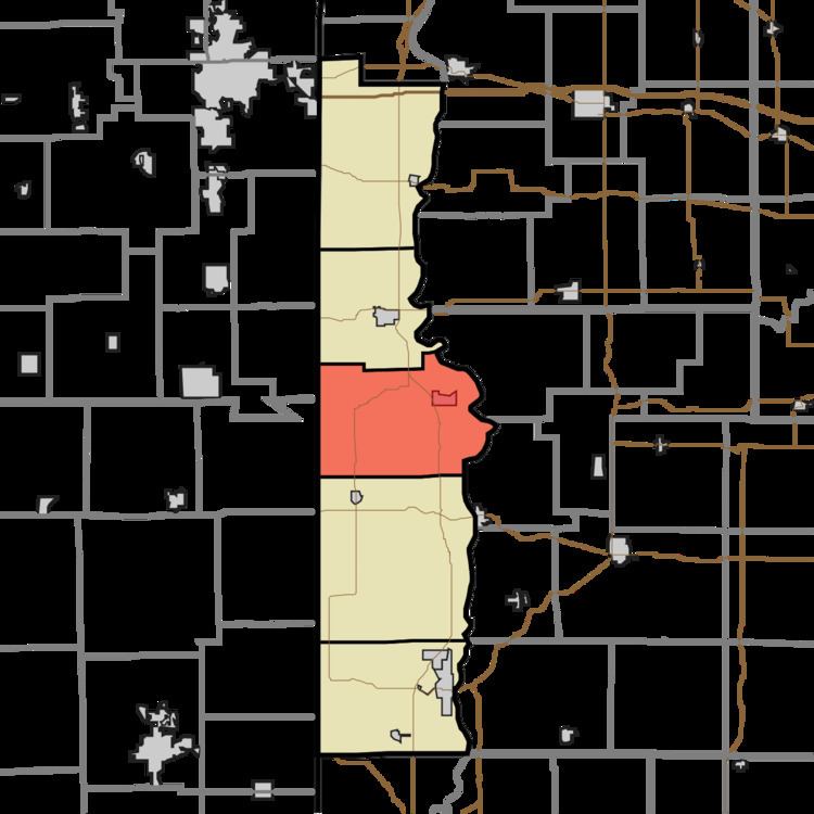
Vermillion Township is one of five townships in Vermillion County, Indiana, United States. As of the 2010 census, its population was 924 and it contained 401 housing units.
Contents
- Map of Vermillion Township IN USA
- History
- Geography
- Cities
- Unincorporated towns
- Cemeteries
- Landmarks
- School districts
- Political districts
- References
Map of Vermillion Township, IN, USA
History
Vermillion Township took its name from Vermillion County, which was named after the Vermilion River.
Geography
According to the 2010 census, the township has a total area of 50.98 square miles (132.0 km2), of which 50.51 square miles (130.8 km2) (or 99.08%) is land and 0.47 square miles (1.2 km2) (or 0.92%) is water.
Cities
Unincorporated towns
Cemeteries
The township contains twelve cemeteries: Carmack, Johnson, Johnson, Juliet, Lebanon, Memorial Chapel, Miller, Old Hopewell, Thomas, Walnut Hill, Wimsett and Zener.
Landmarks
School districts
Political districts
References
Vermillion Township, Vermillion County, Indiana Wikipedia(Text) CC BY-SA