
Country United States County Vermilion Time zone CST (UTC-6) Elevation 205 m Population 807 (2010) | Created 1912 GNIS feature ID 0429301 Area 76.07 km² Local time Thursday 2:04 PM | |
 | ||
Weather 6°C, Wind S at 8 km/h, 36% Humidity | ||
McKendree Township is a township in Vermilion County, Illinois, USA. As of the 2010 census, its population was 807 and it contained 344 housing units. Forest Glen Preserve is located in this township.
Contents
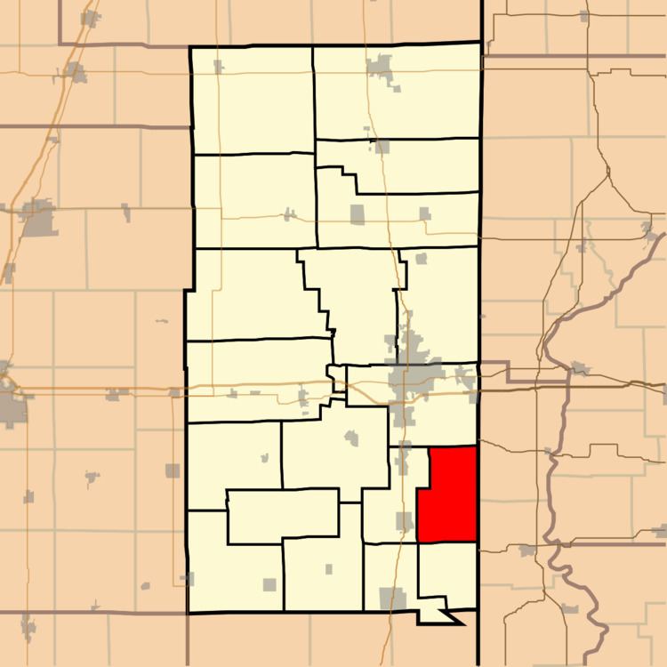
Map of McKendree Township, IL, USA
History
This area was originally part of Georgetown Township, but growing dissatisfaction with a lack of development in that portion of the township, compared with the Georgetown and Westville areas, led to a petition for creation of a new township in 1912. The name came from McKendree Methodist Church.
Geography
According to the 2010 census, the township has a total area of 29.37 square miles (76.1 km2), of which 29.25 square miles (75.8 km2) (or 99.59%) is land and 0.12 square miles (0.31 km2) (or 0.41%) is water. The stream of White Branch runs through this township.
Extinct towns
Adjacent townships
Cemeteries
The township contains eight cemeteries: Bock, Elwood Church, Locket, Lorance, McKendree, Michael, Niccum and North Fork.