
Country United States Time zone CST (UTC-6) Elevation 210 m Local time Thursday 10:41 AM | Created 1851 GNIS feature ID 0428965 Area 64.46 km² Population 1,647 (2010) | |
 | ||
Weather 11°C, Wind E at 14 km/h, 42% Humidity | ||
Elwood Township is a township in Vermilion County, Illinois, USA. As of the 2010 census, its population was 1,647 and it contained 718 housing units.
Contents
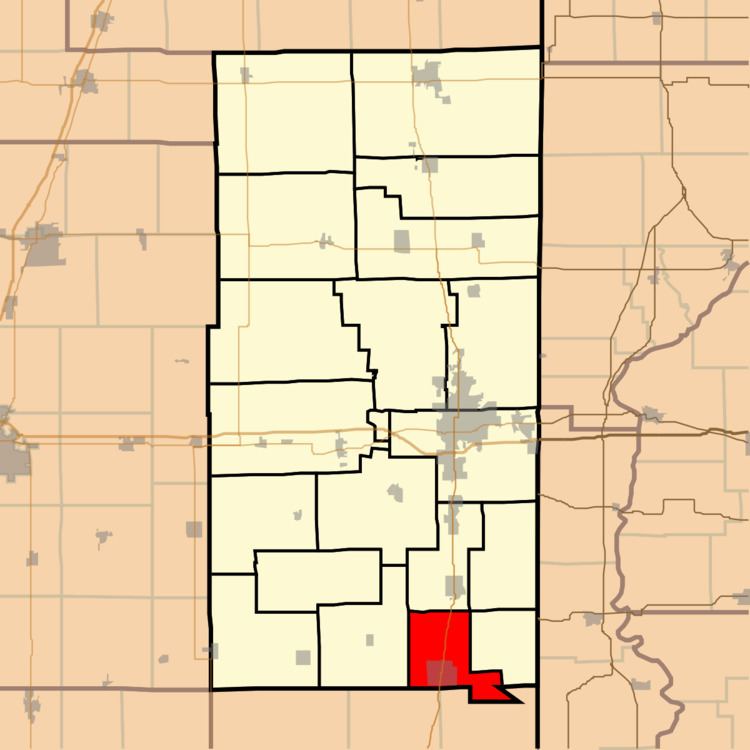
- Map of Elwood Township IL USA
- History
- Geography
- Cities and towns
- Unincorporated towns
- Adjacent townships
- Cemeteries
- Major highways
- School districts
- Political districts
- References
Map of Elwood Township, IL, USA
History
Elwood Township was one of the eight townships created in 1851. It was named after the Elwood Meeting House, which had been named for Thomas Ellwood. John Haworth, founder of the Vermilion County Quaker community, likely suggested the name.
Geography
According to the 2010 census, the township has a total area of 24.89 square miles (64.5 km2), of which 24.81 square miles (64.3 km2) (or 99.68%) is land and 0.08 square miles (0.21 km2) (or 0.32%) is water.
Cities and towns
Unincorporated towns
Adjacent townships
Cemeteries
The township contains six cemeteries: Crown Hill, Dalbey, Pilot Grove, Sharon, Shock and Vermilion.
Major highways
School districts
Political districts
References
Elwood Township, Vermilion County, Illinois Wikipedia(Text) CC BY-SA