
Area 1,443 km² Population 26,876 (2013) | Founded 1792 Unemployment rate 4.5% (Apr 2015) | |
 | ||
Rivers Gasper River, Whippoorwill Creek, Mud River | ||
South logan county kentucky and north robertson county tennessee
Logan County is a county located in the southwest Pennyroyal area of the U.S. state of Kentucky. As of the 2010 census, the population was 26,835. Its county seat is Russellville.
Contents
- South logan county kentucky and north robertson county tennessee
- Map of Logan County KY USA
- History
- Geography
- Adjacent counties
- Demographics
- Cities
- Census designated place
- Other unincorporated places
- Attractions
- References
Map of Logan County, KY, USA
History
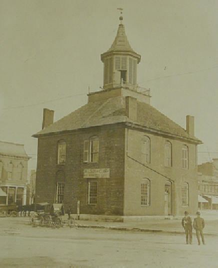
The county is named for Benjamin Logan, who had been second in command of the Kentucky militia during the Revolutionary War and was a leader in the efforts to make Kentucky a state. Created from Lincoln on September 1, 1792, Logan was the 13th Kentucky county in order of formation. Originally, its territory stretched from the Mississippi in the west to the Little Barren River in the east and from the Green and Ohio Rivers in the north to the Tennessee border on the south; since then, 28 other counties have been formed within that area. The settlement of Logan Court House was made the county seat at its incorporation under the name Russellville.
Future President Andrew Jackson fought a duel with pistols against Charles Dickinson at Harrison's Mill in Logan County on May 30, 1806. Jackson was seriously wounded and Dickinson was killed.
Geography
According to the U.S. Census Bureau, the county has a total area of 557 square miles (1,440 km2), of which 552 square miles (1,430 km2) is land and 4.9 square miles (13 km2) (0.9%) is water.
Adjacent counties
Demographics
As of the census of 2000, there were 26,573 people, 10,506 households, and 7,574 families residing in the county. The population density was 48 per square mile (19/km2). There were 11,875 housing units at an average density of 21 per square mile (8.1/km2). The racial makeup of the county was 90.70% White, 7.62% Black or African American, 0.21% Native American, 0.17% Asian, 0.01% Pacific Islander, 0.33% from other races, and 0.96% from two or more races. 1.08% of the population were Hispanic or Latino of any race.
There were 10,506 households out of which 33.30% had children under the age of 18 living with them, 57.20% were married couples living together, 11.20% had a female householder with no husband present, and 27.90% were non-families. 25.00% of all households were made up of individuals and 11.40% had someone living alone who was 65 years of age or older. The average household size was 2.50 and the average family size was 2.96.
In the county, the population was spread out with 25.70% under the age of 18, 8.40% from 18 to 24, 28.50% from 25 to 44, 23.60% from 45 to 64, and 13.80% who were 65 years of age or older. The median age was 37 years. For every 100 females there were 93.10 males. For every 100 females age 18 and over, there were 90.40 males.
The median income for a household in the county was $32,474, and the median income for a family was $39,307. Males had a median income of $29,750 versus $20,265 for females. The per capita income for the county was $15,962. About 10.80% of families and 15.50% of the population were below the poverty line, including 20.50% of those under age 18 and 18.60% of those age 65 or over.