Country United States GNIS feature ID 499937 Local time Friday 1:15 AM | Time zone Central (CST) (UTC-6) Elevation 177 m | |
 | ||
Weather 15°C, Wind S at 18 km/h, 62% Humidity | ||
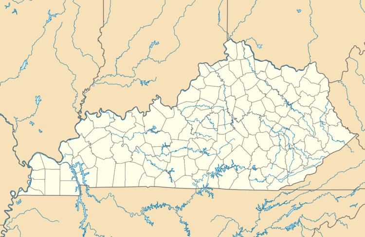
Olmstead is an unincorporated community in Logan County, Kentucky, United States.
Map of Olmstead, KY 42265, USA
Olmstead was a station on the railroad. It is also the site of an elementary and middle school. A post office has been in operation until recently in Olmstead since 1862.
It is the location of, or nearest community to, Cedar Grove Rosenwald School which was a historic Rosenwald School built in 1928. The school is listed on the National Register of Historic Places.
References
Olmstead, Kentucky Wikipedia(Text) CC BY-SA
