
Population 3,082 (2012) Founded 1906 | Established 1906 Area 2,895 km² | |
 | ||
Mayor Rodger Schirmer (Unaligned) Points of interest The Rock Nature Reserve, Greens Gunyah Museum, Doris Golder Wool Art | ||
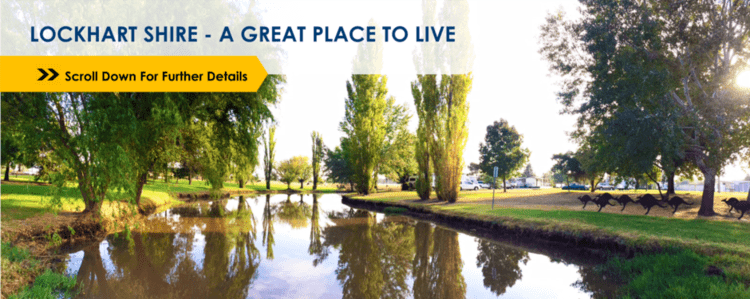
Lockhart Shire is a local government area in the Riverina region of New South Wales, Australia. The Shire was created in 1906 and is an agricultural and pastoral area.
Contents
Map of Lockhart, NSW, Australia
The main towns and villages in the Shire include Lockhart (950 people), The Rock (860), Yerong Creek (145), Pleasant Hills (39) and Milbrulong (35). It has 1302 rural residents.
The mayor of Lockhart Shire is yet to be determined following the 2012 local government election.
Proposed amalgamation
A 2015 review of local government boundaries by the NSW Government Independent Pricing and Regulatory Tribunal recommended that the Lockhart Shire merge with the Corowa and Urana shires to form a new council with an area of 8,581 square kilometres (3,313 sq mi) and support a population of approximately 16,000. In May 2016 the Minister for Local Government announced that following an independent review of merger proposals, the Government decided that the Corowa and Urana shire councils merge to form the Federation Council; while the Lockhart Shire would not amgamate.
Current composition and election method
Lockhart Shire Council is composed of nine councillors elected proportionally as three separate wards, each electing three councillors. All councillors are elected for a fixed four-year term of office. The mayor is elected by the councillors at the first meeting of the Council. The most recent election was held on 10 September 2016. However, in C Ward there was an equal number of candidates, being those below, that nominated for election. There being no additional candidates, the election for C Ward was uncontested. An election was held for A and B Wards. The makeup of the Council is as follows:
The current Council, elected in 2016, in order of election by ward, is: