
- elevation 896 m (2,940 ft) - elevation 228 m (748 ft) | - location Noojee | |
 | ||
Similar Bonang River, Caledonia River, Cumberland River, Murrindindi River, Glenmaggie Dam | ||
The Loch River is a perennial river of the West Gippsland catchment, located in the West Gippsland region of the Australian state of Victoria.
Contents
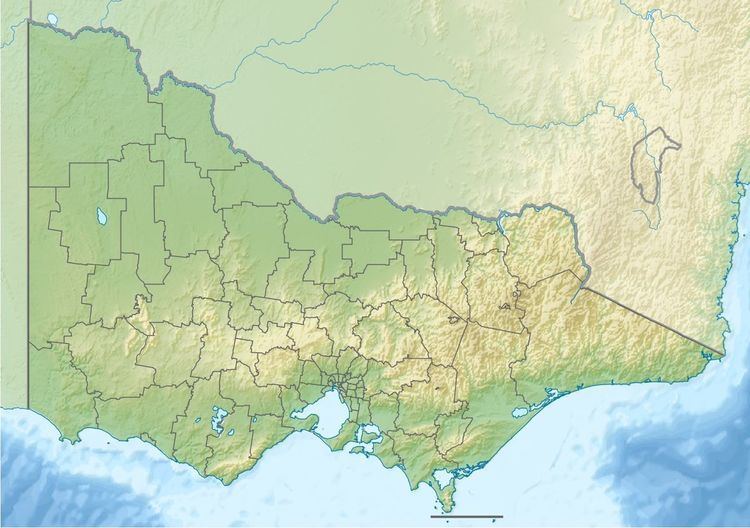
Map of Loch River, Victoria, Australia
Course and featuresEdit
Loch River rises below Roy Hill within the Great Dividing Range, in a remote state forestry area east northeast of Powelltown and southeast of Warburton East. The river flows generally north, then east, then south by east through the Loch Valley, before reaching its confluence with the Latrobe River at the locality of Noojee in the Shire of Baw Baw. The river descends 668 metres (2,192 ft) over its 19-kilometre (12 mi) course.
The Loch River sub-catchment area is managed by the West Gippsland Catchment Management Authority.
References
Loch River Wikipedia(Text) CC BY-SA