
Country United States GNIS feature ID 453575 Area 91.76 km² Population 1,323 (2010) | ZIP codes 47802, 47850, 47866 Elevation 175 m Local time Saturday 7:48 AM | |
 | ||
Weather 2°C, Wind W at 16 km/h, 74% Humidity | ||
Linton Township is one of twelve townships in Vigo County, Indiana, United States. As of the 2010 census, its population was 1,323 and it contained 555 housing units.
Contents
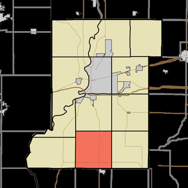
- Map of Linton Township IN USA
- History
- Geography
- Unincorporated communities
- Adjacent townships
- Cemeteries
- Airports and landing strips
- Lakes
- School districts
- Political districts
- References
Map of Linton Township, IN, USA
History
Linton Township High School and Community Building was listed on the National Register of Historic Places in 2002.
Geography
According to the 2010 census, the township has a total area of 35.43 square miles (91.8 km2), of which 34.97 square miles (90.6 km2) (or 98.70%) is land and 0.46 square miles (1.2 km2) (or 1.30%) is water.
Unincorporated communities
Adjacent townships
Cemeteries
The township contains these two cemeteries: Kester Family Cemetery and Union.
Airports and landing strips
Lakes
School districts
Political districts
References
Linton Township, Vigo County, Indiana Wikipedia(Text) CC BY-SA