
Country United States GNIS feature ID 453775 Area 47.94 km² Zip code 47870 | ZIP codes 47870 Elevation 140 m Population 1,222 (2010) Local time Saturday 5:05 PM | |
 | ||
Weather 21°C, Wind S at 24 km/h, 58% Humidity | ||
Prairieton Township is one of twelve townships in Vigo County, Indiana, United States. As of the 2010 census, its population was 1,222 and it contained 517 housing units.
Contents
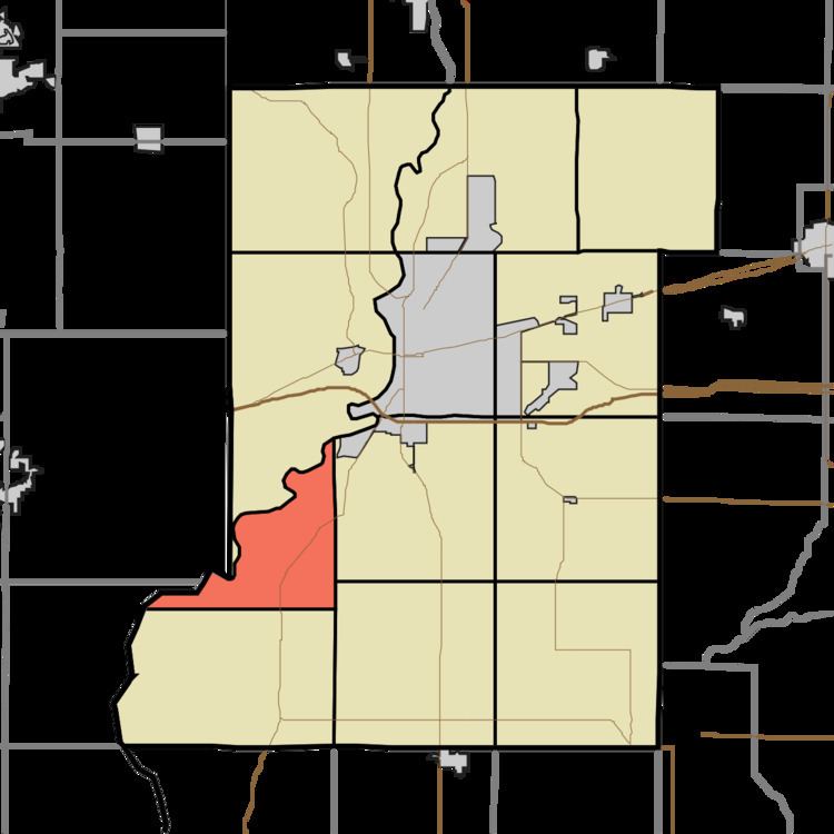
- Map of Prairieton Township IN 47802 USA
- Geography
- Cities towns villages
- Unincorporated communities
- Adjacent townships
- Cemeteries
- Airports and landing strips
- Landmarks
- School districts
- Political districts
- Municipal
- References
Map of Prairieton Township, IN 47802, USA
Geography
According to the 2010 census, the township has a total area of 18.51 square miles (47.9 km2), of which 17.83 square miles (46.2 km2) (or 96.33%) is land and 0.68 square miles (1.8 km2) (or 3.67%) is water.
Cities, towns, villages
Unincorporated communities
Adjacent townships
Cemeteries
The township contains New Harmony Cemetery.
Airports and landing strips
Landmarks
School districts
Political districts
Municipal
References
Prairieton Township, Vigo County, Indiana Wikipedia(Text) CC BY-SA