
Country United States GNIS feature ID 453774 Area 99.84 km² Local time Saturday 4:28 PM | ZIP codes 47802, 47850 Elevation 149 m Population 1,195 (2010) | |
 | ||
Weather 21°C, Wind S at 24 km/h, 53% Humidity | ||
Prairie Creek Township is one of twelve townships in Vigo County, Indiana, United States. As of the 2010 census, its population was 1,195 and it contained 494 housing units.
Contents
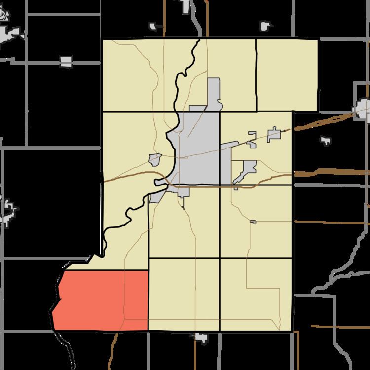
- Map of Prairie Creek Township IN USA
- Geography
- Unincorporated communities
- Adjacent townships
- Cemeteries
- Rivers
- School districts
- Political districts
- References
Map of Prairie Creek Township, IN, USA
Geography
According to the 2010 census, the township has a total area of 38.55 square miles (99.8 km2), of which 37.99 square miles (98.4 km2) (or 98.55%) is land and 0.56 square miles (1.5 km2) (or 1.45%) is water.
Unincorporated communities
Adjacent townships
Cemeteries
The township contains these four cemeteries: Lykens, Shattuck, Watson and West Prairie Creek.
Rivers
School districts
Political districts
References
Prairie Creek Township, Vigo County, Indiana Wikipedia(Text) CC BY-SA