
Elevation 160 m Population 1,904 (2010) | GNIS feature ID 453470 Area 114.3 km² Local time Friday 11:00 PM | |
 | ||
ZIP codes 47438, 47850, 47855, 47858, 47866, 47879, 47882 Weather 6°C, Wind S at 8 km/h, 93% Humidity | ||
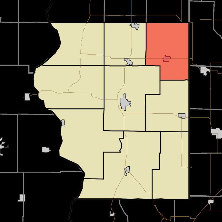
Jackson Township is one of nine townships in Sullivan County, Indiana, United States. As of the 2010 census, its population was 1,904 and it contained 843 housing units.
Contents
- Map of Jackson Township IN USA
- Geography
- Cities and towns
- Unincorporated communities
- Adjacent townships
- Cemeteries
- Lakes
- Landmarks
- School districts
- Political districts
- References
Map of Jackson Township, IN, USA
Geography
According to the 2010 census, the township has a total area of 44.12 square miles (114.3 km2), of which 43.26 square miles (112.0 km2) (or 98.05%) is land and 0.86 square miles (2.2 km2) (or 1.95%) is water.
Cities and towns
Unincorporated communities
Adjacent townships
Cemeteries
The township contains these two cemeteries: Knights of Columbus and Mount Pleasant.
Lakes
Landmarks
School districts
Political districts
References
Jackson Township, Sullivan County, Indiana Wikipedia(Text) CC BY-SA