
Country United States Elevation 350 m Local time Thursday 10:35 PM | GNIS feature ID 0453556 Area 105.8 km² Population 1,455 (2010) | |
 | ||
Weather 0°C, Wind S at 6 km/h, 48% Humidity | ||
Liberty Township is one of thirteen townships in Henry County, Indiana, United States. As of the 2010 census, its population was 1,455 and it contained 602 housing units.
Contents
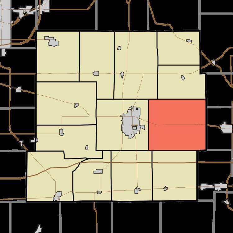
- Map of Liberty Township IN USA
- Geography
- Unincorporated towns
- Adjacent townships
- Cemeteries
- Major highways
- Airports and landing strips
- References
Map of Liberty Township, IN, USA
Liberty Township was organized in 1822.
Geography
According to the 2010 census, the township has a total area of 40.83 square miles (105.7 km2), of which 40.79 square miles (105.6 km2) (or 99.90%) is land and 0.05 square miles (0.13 km2) (or 0.12%) is water. The streams of Bat Run, Batson Drain, Bell Run, Coo Run, Gravel Run, Millville Drain, Mud Run, Number One Arm, Number Two Arm, Pebble Run, Stone Branch, Tail Run and Wind Run run through this township.
Unincorporated towns
(This list is based on USGS data and may include former settlements.)
Adjacent townships
Cemeteries
The township contains two cemeteries: Bell and White Heart.
Major highways
Airports and landing strips
References
Liberty Township, Henry County, Indiana Wikipedia(Text) CC BY-SA