
Country United States GNIS feature ID 0453407 | Elevation 1,020 ft (311 m) | |
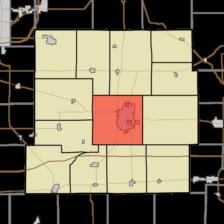 | ||
Henry Township is one of thirteen townships in Henry County, Indiana, United States. As of the 2010 census, its population was 22,560 and it contained 10,863 housing units.
Contents
- Map of Henry County IN USA
- Geography
- Cities and towns
- Unincorporated towns
- Adjacent townships
- Cemeteries
- Major highways
- Airports and landing strips
- References
Map of Henry County, IN, USA
Geography
According to the 2010 census, the township has a total area of 36.9 square miles (96 km2), of which 36.38 square miles (94.2 km2) (or 98.59%) is land and 0.52 square miles (1.3 km2) (or 1.41%) is water. The streams of Baker Branch, Boulder Run, Castle Run, Dark Run, Elliott Cemetery Run, Elliott Run, Grove Run, Hillcrest Brook, Little Blue River, Memorial Creek, Mound Run, Penns Run, Pink Creek, Saint Creek, Saint Johns Drain, Sky Run, Sugar Drain, Suncrest Brook, West Leg Westwood Run, Westwood Run and Wood Brook run through this township.
Cities and towns
Unincorporated towns
(This list is based on USGS data and may include former settlements.)
Adjacent townships
Cemeteries
The township contains three cemeteries: Elliott, Saint Johns and South Mound.