
Country United States Elevation 323 m Local time Thursday 7:39 AM | GNIS feature ID 0453305 Area 74.1 km² Population 1,157 (2010) | |
 | ||
Weather -8°C, Wind W at 8 km/h, 76% Humidity | ||
Franklin Township is one of thirteen townships in Henry County, Indiana, United States. As of the 2010 census, its population was 1,157 and it contained 486 housing units.
Contents
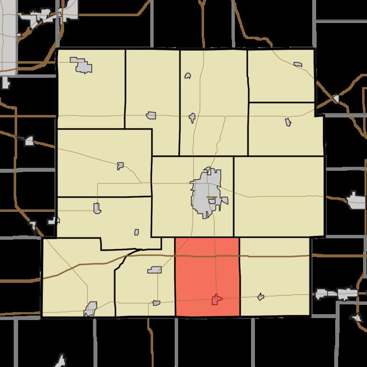
- Map of Franklin Township IN USA
- History
- Geography
- Cities and towns
- Adjacent townships
- Cemeteries
- Major highways
- References
Map of Franklin Township, IN, USA
Franlin Township was organized in 1830.
History
Richsquare Friends Meetinghouse and Cemetery was added to the National Register of Historic Places in 2006.
Geography
According to the 2010 census, the township has a total area of 28.61 square miles (74.1 km2), of which 28.48 square miles (73.8 km2) (or 99.55%) is land and 0.13 square miles (0.34 km2) (or 0.45%) is water. The stream of Applebutter Creek runs through this township.
Cities and towns
Adjacent townships
Cemeteries
The township contains one cemetery, Ebenezer.
Major highways
References
Franklin Township, Henry County, Indiana Wikipedia(Text) CC BY-SA