
Country United States Elevation 352 m Population 566 (2010) | GNIS feature ID 453252 Area 40.9 km² Local time Thursday 12:28 AM | |
 | ||
Weather 7°C, Wind W at 8 km/h, 48% Humidity | ||
Dalton Township is one of fifteen townships in Wayne County, Indiana, United States. As of the 2010 census, its population was 566 and it contained 239 housing units.
Contents
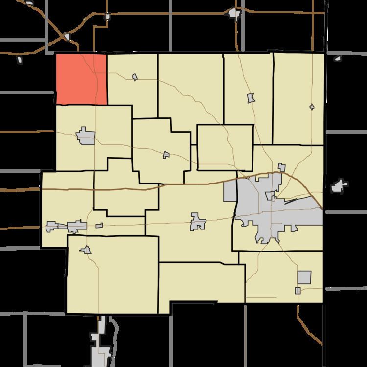
- Map of Dalton Township IN USA
- History
- Geography
- Unincorporated towns
- Adjacent townships
- Major highways
- References
Map of Dalton Township, IN, USA
History
Dalton Township was organized in 1847.
Geography
According to the 2010 census, the township has a total area of 15.79 square miles (40.9 km2), of which 15.75 square miles (40.8 km2) (or 99.75%) is land and 0.04 square miles (0.10 km2) (or 0.25%) is water. The streams of Corey Run, Flight Run, Franklin Run, Little Creek, Little Four Mile Creek, Mono Run, Propeller Run, Show Run, Single Run, West River and Wing Branch run through this township.
Unincorporated towns
(This list is based on USGS data and may include former settlements.)
Adjacent townships
Major highways
References
Dalton Township, Wayne County, Indiana Wikipedia(Text) CC BY-SA